Mount Tongkoko, Tangkoko Nature Reserve
Map

Map

Facts and practical information
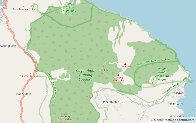
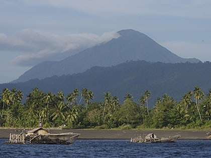
Mount Tongkoko or Mount Tangkoko is a stratovolcano in the north of Sulawesi, Indonesia. Its summit has an elongated deep crater. On the east flank there is a flat lava dome Batu Angus. Historical records only show eruptions in the nineteenth century. ()
Local name: Gunung Tangkoko Last eruption: 1880Elevation: 3770 ftCoordinates: 1°31'18"N, 125°10'52"E
Address
Tangkoko Nature Reserve
ContactAdd
Social media
Add
Day trips
Mount Tongkoko – popular in the area (distance from the attraction)
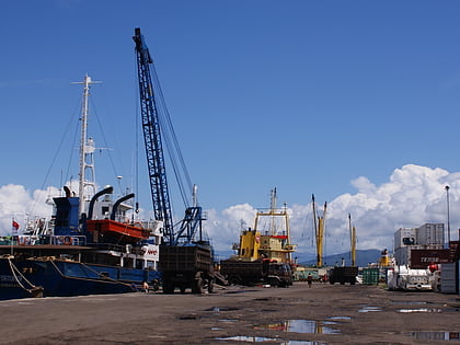
Nearby attractions include: Lembeh, Monkey selfie copyright dispute, Port of Bitung.


