Fort van der Capellen, Batusangkar

Gallery (1)
Map
Map
Facts and practical information
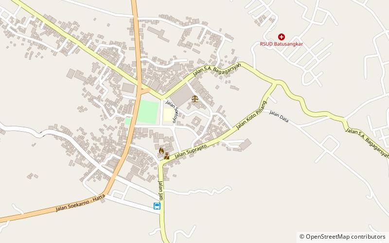
Fort van der Capellen is a small 19th-century Dutch fort in Batusangkar, West Sumatra, Indonesia. The town of Batusangkar grew considerably around the Fort van der Capellen. The fort was named after the Governor-General of the Dutch East Indies Godert van der Capellen. ()
Local name: Benteng Van der CapellenCoordinates: 0°27'16"S, 100°35'46"E
Address
Batusangkar
ContactAdd
Social media
Add
Day trips
Fort van der Capellen – popular in the area (distance from the attraction)
Nearby attractions include: Pagaruyung Palace.
