Benteng Kuto Besak, Palembang
Map
Map

Facts and practical information
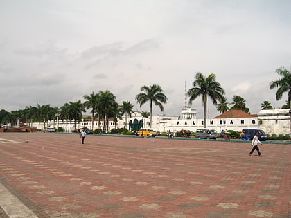
Kuto Besak, also Benteng Kuto Besak is an 18th-century kraton in Palembang, South Sumatra. Kuto Besak was the center of the Sultanate of Palembang before its abolition by the Dutch colonial government. The fort was constructed in 1780 and took seventeen years to complete. Kuto Besak was inaugurated in 1797, marked by the transfer of the royal residence from the older Kuto Lamo to Kuto Besak. ()
Elevation: 7 ft a.s.l.Coordinates: 2°59'33"S, 104°45'36"E
Address
Jl. Sultan Mahmud BadarudinPalembang 30113
ContactAdd
Social media
Add
Day trips
Benteng Kuto Besak – popular in the area (distance from the attraction)
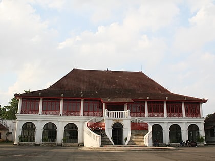
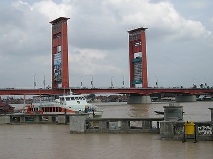
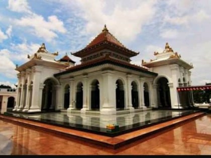
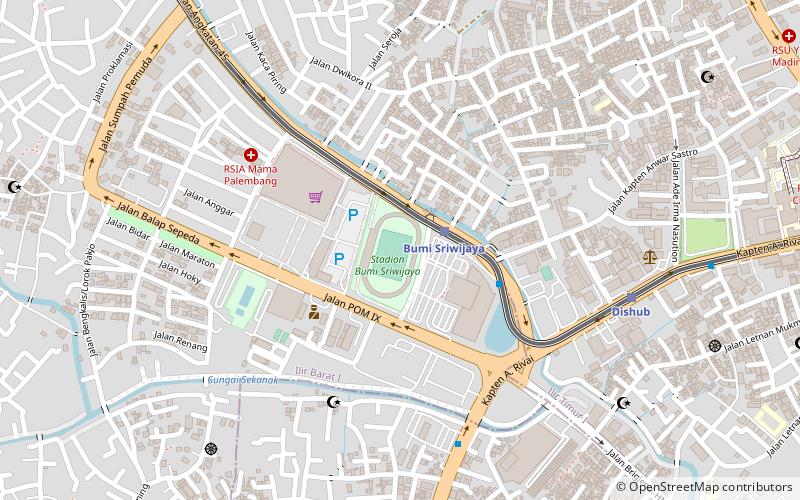
Nearby attractions include: Museum Sultan Mahmud Badaruddin II, Ampera Bridge, Masjid Agung Palembang, Bumi Sriwijaya Stadium.
Frequently Asked Questions (FAQ)
When is Benteng Kuto Besak open?
Benteng Kuto Besak is open:
- Monday 24h
- Tuesday 24h
- Wednesday 24h
- Thursday 24h
- Friday 24h
- Saturday 24h
- Sunday 24h
Which popular attractions are close to Benteng Kuto Besak?
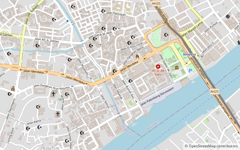
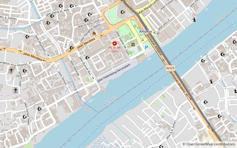
Nearby attractions include Museum Sultan Mahmud Badaruddin II, Palembang (5 min walk), Ampera Bridge, Palembang (8 min walk), Masjid Agung Palembang, Palembang (8 min walk).
How to get to Benteng Kuto Besak by public transport?
The nearest stations to Benteng Kuto Besak:
Light rail
Bus
Light rail
- Ampera • Lines: 1 (7 min walk)
- Cinde • Lines: 1 (22 min walk)
Bus
- Stasiun LRT Ampera (8 min walk)
- Stasiun LRT Cinde (22 min walk)
