Betung Kerihun National Park
Map
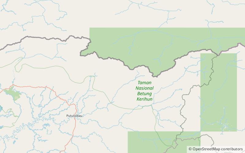
Map

Facts and practical information
Betung Kerihun National Park is a national park in the province of West Kalimantan on the island of Borneo, Indonesia. It is located inland, along the Malaysian border. The park was established in 1995, and has a total area of 8,000 km2 or about 5.5 percent of West Kalimantan Province area. Together with the 2,000 km2 Lanjak Entimau Wildlife Sanctuary in Malaysia, it has been proposed to form a World Heritage Site named the "Transborder Rainforest Heritage of Borneo". ()
Local name: Taman Nasional Betung Kerihun Established: 1995 (31 years ago)Area: 3088.81 mi²Elevation: 3698 ft a.s.l.Coordinates: 1°13'15"N, 113°21'11"E
Location
West Kalimantan
ContactAdd
Social media
Add
Best Ways to Experience the Park
Wildlife
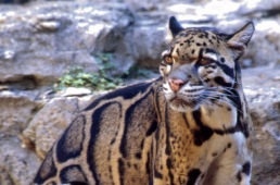
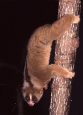
AnimalsSee what popular animal species you can meet in this location.
More
Show more

