Iliwerung, Lembata
Map

Map

Facts and practical information
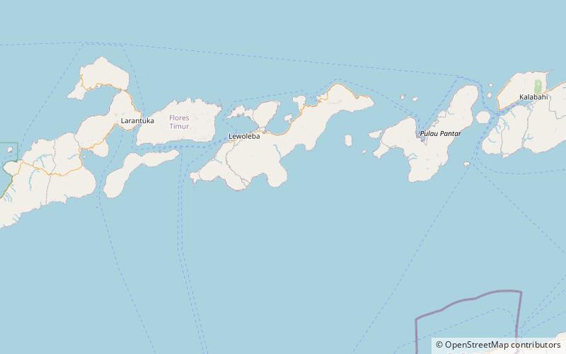
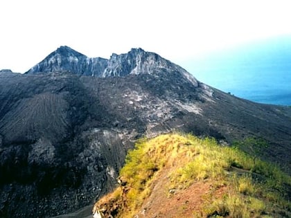
Iliwerung or Illiwerung is a complex volcano forming a prominent south-facing peninsula on Lembata Island in southern Indonesia. It contains north-south and northwest-southeast trending lines of craters and lava domes, with the summit dome having formed by a VEI-3 eruption in 1870. ()
Local name: Gunung Iliwerung Last eruption: 1999Elevation: 3340 ftCoordinates: 8°31'48"S, 123°34'12"E
Address
Lembata
ContactAdd
Social media
Add
