Candi Tikus, Trowulan

Gallery (1)
Map
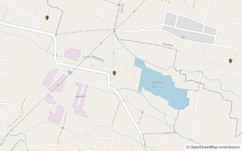
Map
Facts and practical information
Candi Tikus is a place located in Trowulan (East Java province) and belongs to the category of sightseeing.
It is situated at an altitude of 197 feet, and its geographical coordinates are 7°34'18"S latitude and 112°24'14"E longitude.
Among other places and attractions worth visiting in the area are: Trowulan Museum (museum, 46 min walk), Museum Majapahit, Mojokerto (history museum, 46 min walk), Candi Brahu (temple, 73 min walk).
Coordinates: 7°34'18"S, 112°24'14"E
Address
Trowulan
ContactAdd
Social media
Add
Day trips


