Bukit Duabelas National Park
Map

Map

Facts and practical information
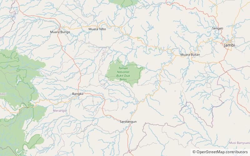
Bukit Duabelas is a relatively small national park covering 605 km² in Sumatra, Indonesia. It is representative of lowland tropical rain forests in the province of Jambi. Only the northern part of the park consists of primary rainforest, while the rest is secondary forest, as result of previous logging. The park is inhabited by the indigenous Orang Rimba. ()
Local name: Taman Nasional Bukit Duabelas Established: 2000 (26 years ago)Area: 233.59 mi²Elevation: 696 ft a.s.l.Coordinates: 1°55'20"S, 102°41'20"E
Location
Jambi
ContactAdd
Social media
Add
Best Ways to Experience the Park
Wildlife
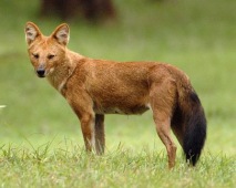
AnimalsSee what popular animal species you can meet in this location.
More
Show more


