Mount Batur
Facts and practical information
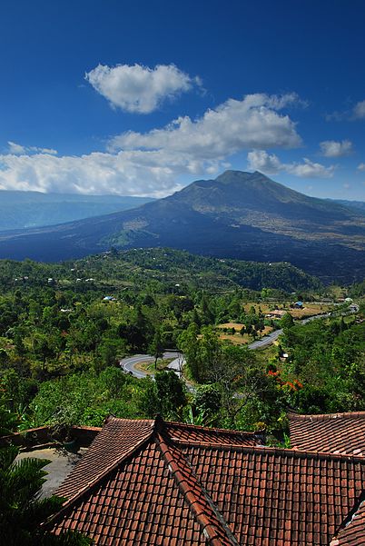
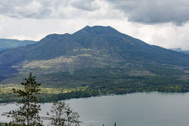
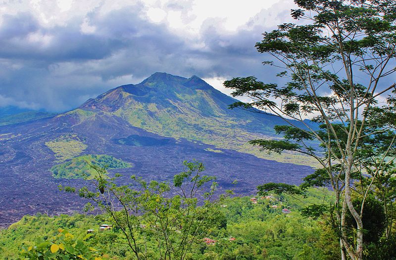
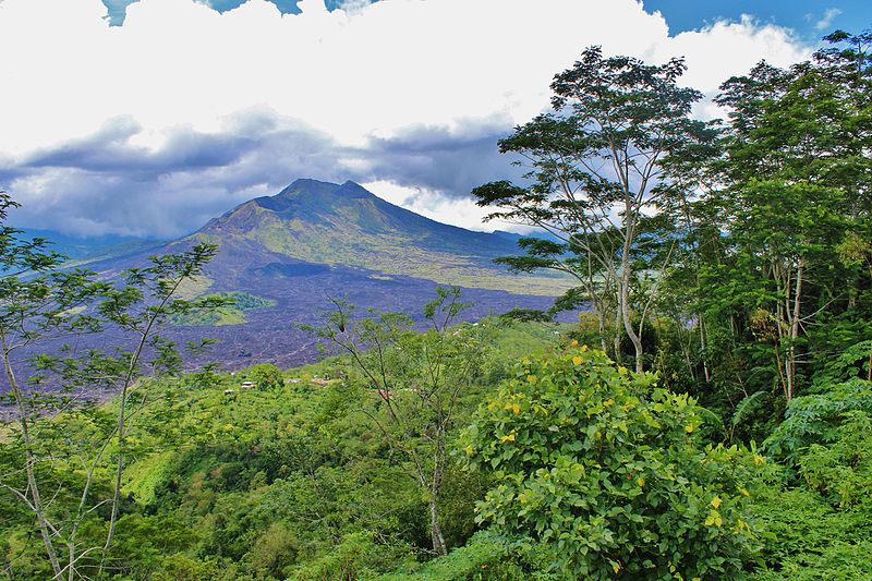
Mount Batur, an active volcano located in the heart of Bali, Indonesia, is a captivating natural wonder that draws thousands of adventure seekers and nature enthusiasts each year. Rising to a height of 1,717 meters above sea level, this stratovolcano features a breathtaking caldera that is a testament to the island's volcanic history.
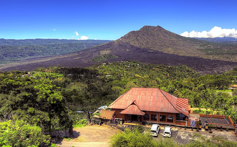
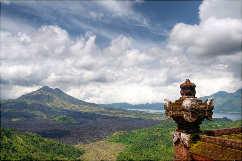
Mount Batur's last major eruption occurred in 1963, and since then, it has maintained a state of quiet, with only minor activity reminding visitors of its underlying power. The volcano is part of the Pacific Ring of Fire, an area notorious for seismic activity, and its slopes are covered with black lava flows that narrate its eruptive past.
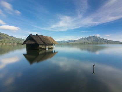
The trek to the summit of Mount Batur is a popular activity for tourists, offering an unforgettable sunrise view over Bali and its surrounding waters. The climb typically starts in the early hours of the morning, allowing hikers to reach the peak just in time to witness a new day dawning over the island. The panoramic vistas from the top encompass the majestic Mount Agung, Bali's highest point, and the shimmering Lake Batur, which occupies part of the caldera.
Not only is Mount Batur a natural spectacle, but it is also of cultural significance to the Balinese people. It is considered sacred, with the Balinese deity Dewi Danu believed to reside within the lake, providing water for the island's intricate irrigation system known as 'subak'. The surrounding region is fertile and supports a thriving agriculture industry, with coffee plantations and vegetable fields benefiting from the rich volcanic soil.
Bali
Mount Batur – popular in the area (distance from the attraction)
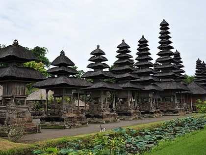
Nearby attractions include: Pura Ulun Danu Batur, Subak, Danau Batur.


