Gunung Palung National Park
Map

Map

Facts and practical information
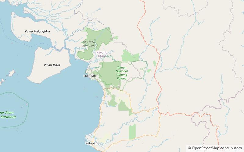
Mount Palung National Park lies on the island of Borneo, in the Indonesian province of West Kalimantan, north of Ketapang and east of Sukadana. ()
Local name: Taman Nasional Gunung Palung Established: 1990 (36 years ago)Area: 347.49 mi²Elevation: 207 ft a.s.l.Coordinates: 1°14'24"S, 110°14'20"E
Location
West Kalimantan
ContactAdd
Social media
Add
Best Ways to Experience the Park
Wildlife
AnimalsSee what popular animal species you can meet in this location.
More
Show more


