Padar, Indonesia

Gallery (1)
Map
Map
Facts and practical information
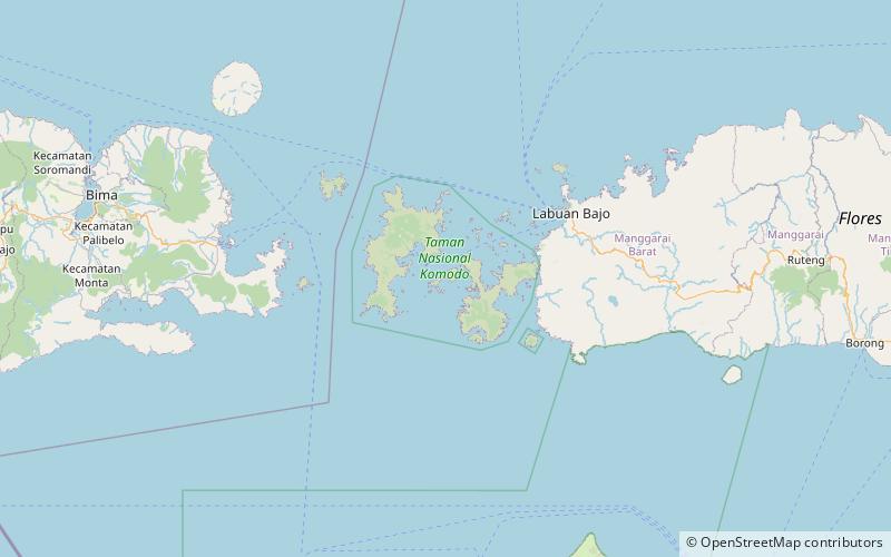
Padar, also known as Pada, is a small island located between Komodo and Rinca islands within Komodo archipelago, administrated under the West Manggarai Regency, East Nusa Tenggara, Indonesia. It is the third largest island part of Komodo National Park. ()
Local name: Pulau Padar Area: 7.78 mi²Archipelago: Lesser Sunda IslandsCoordinates: 8°39'21"S, 119°34'26"E
Location
East Nusa Tenggara
ContactAdd
Social media
Add