Sangir Island Travel Guide
Facts and practical information
Sangir Island, located in the North Sulawesi region of Indonesia, is a hidden gem waiting to be explored by adventurous travelers. This picturesque island is surrounded by crystal clear waters and is home to stunning coral reefs, making it a paradise for snorkeling and diving enthusiasts. The island's lush greenery and pristine beaches offer a tranquil escape from the hustle and bustle of city life.
One of the main attractions on Sangir Island is the active volcano, Mount Awu, which stands at an impressive 1,320 meters tall. Hiking to the summit of this volcano offers breathtaking panoramic views of the surrounding landscape and is an unforgettable experience for outdoor enthusiasts. The island is also known for its traditional villages, where visitors can immerse themselves in the local culture and witness traditional customs and rituals.
For those interested in marine life, Sangir Island is a haven for underwater exploration. The vibrant coral reefs are teeming with a diverse array of marine species, including colorful fish, sea turtles, and even the occasional sighting of dolphins. The island's clear waters and thriving marine ecosystem make it a prime spot for snorkeling and scuba diving.
In addition to its natural beauty, Sangir Island is also a place of historical significance. Visitors can explore ancient ruins and archaeological sites that date back to pre-colonial times, providing a glimpse into the island's rich and storied past.
North Sulawesi
Sangir Island Attractions - What to See and Explore
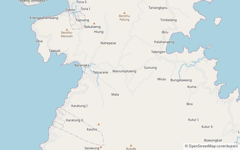
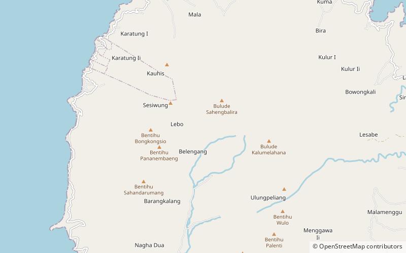
Sangir Island offers many attractions and places to visit. Here are the most important ones: Mount Awu, Tahuna, Mount Sahendaruman. Below you will find a complete list of places worth visiting.

Best Time To Visit Sangir Island
Learn when is the best time to travel to Sangir Island weather-wise and what to expect in each season.