Manado Tua
Map

Map

Facts and practical information
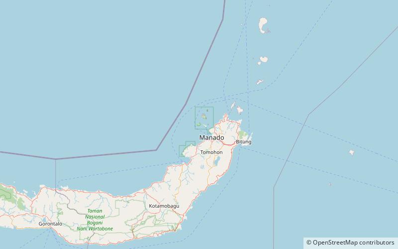
Manado Tua is a volcanic island in the Celebes Sea off the northeast coast of Sulawesi. The island is located on Bunaken National Park. ()
Local name: Pulau Manado Tua Area: 3.86 mi²Maximum elevation: 2507 ftCoordinates: 1°37'59"N, 124°41'56"E
Location
North Sulawesi
ContactAdd
Social media
Add
Day trips
Manado Tua – popular in the area (distance from the attraction)
Nearby attractions include: Bunaken National Park.

