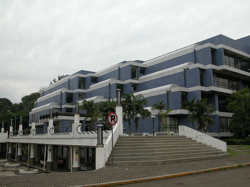
Pasteur Institute, Bandung
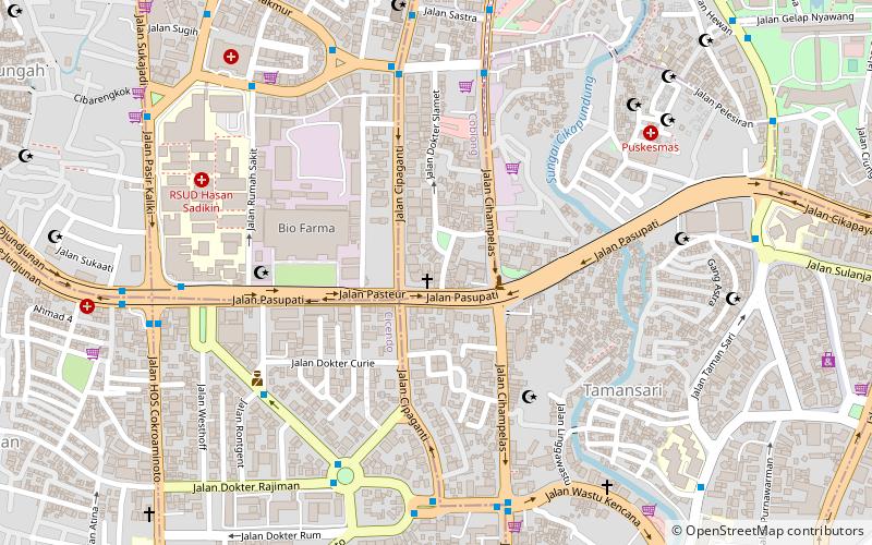
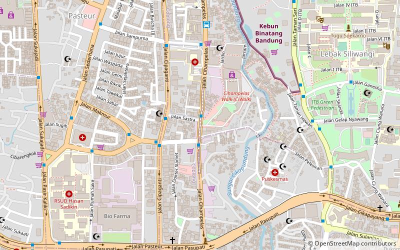
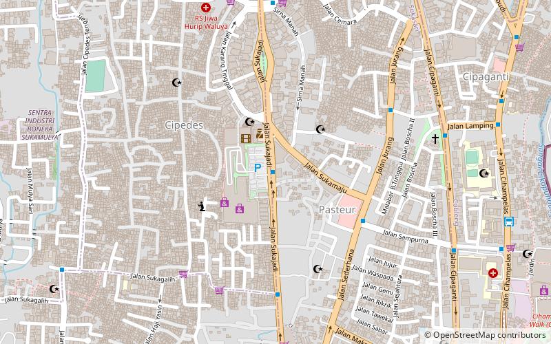
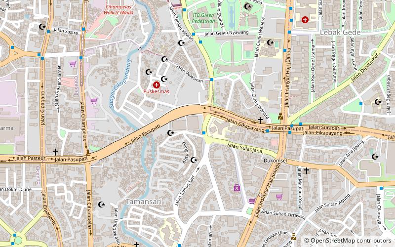
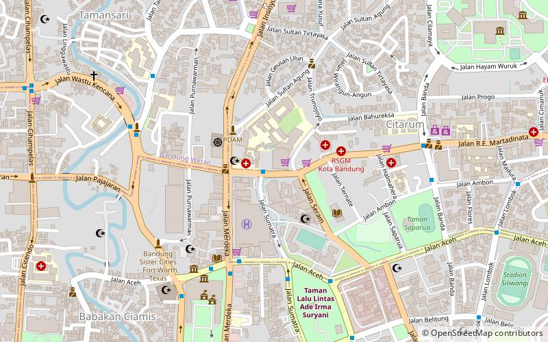
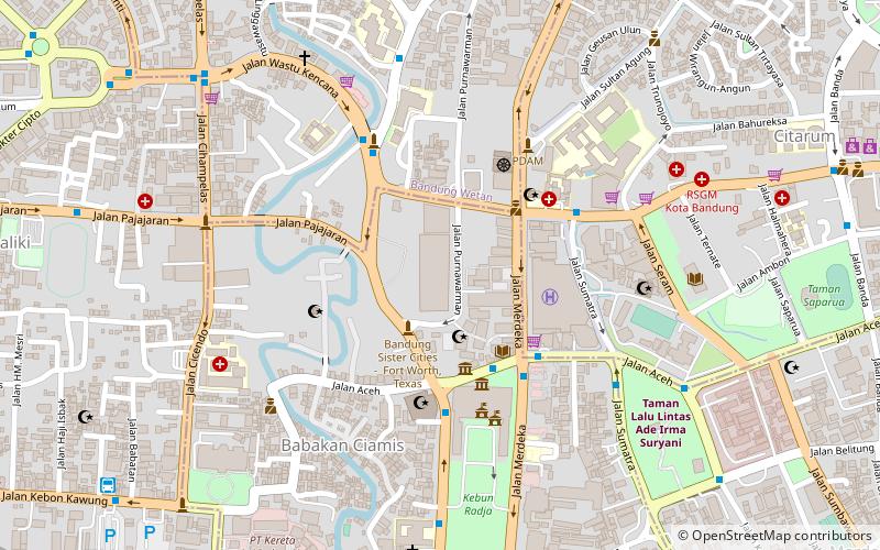
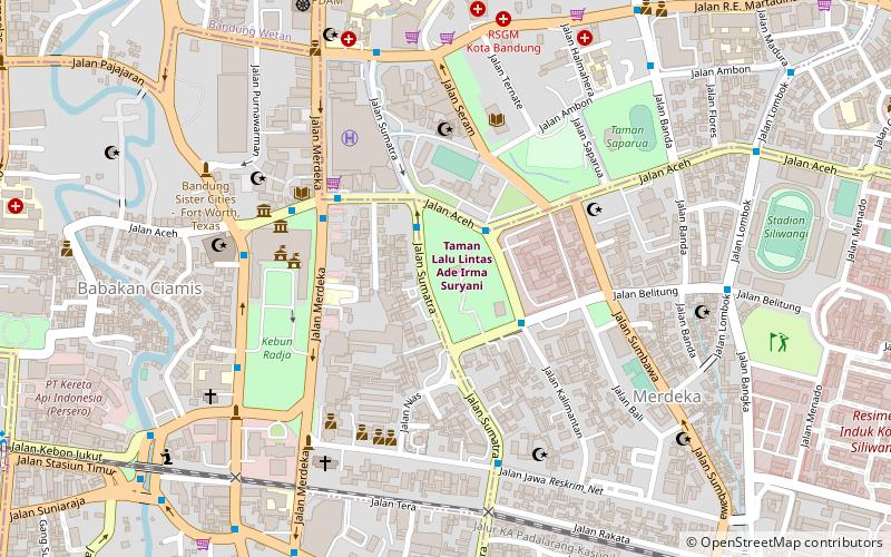
Map
Facts and practical information
Pasteur Institute (address: Jl. Pasteur No. 28) is a place located in Bandung (West Java province) and belongs to the category of church.
It is situated at an altitude of 2438 feet, and its geographical coordinates are 6°53'59"S latitude and 107°36'11"E longitude.
Planning a visit to this place, one can easily and conveniently get there by public transportation. Pasteur Institute is a short distance from the following public transport stations: Eyckman (bus, 8 min walk), Stasiun Bandung (train, 26 min walk).
Among other places and attractions worth visiting in the area are: Cihampelas Walk (shopping, 9 min walk), Cipaganti Mosque (mosque, 9 min walk), Taman Film (park, 10 min walk).
Coordinates: 6°53'59"S, 107°36'11"E
Getting there by public transportation
Public transportation stops near this location
- Bus
- Train
 Bus
Bus
- Calculate routeEyckman 8 min walk
- Calculate routeDr. Otten 8 min walk
- Calculate routeRajiman 8 min walk
- Calculate routeStasiun Bandung 26 min walk
- Calculate routeBandung 26 min walk
- Calculate routeCiroyom 34 min walk
- Calculate routeStasiun Ciroyom 34 min walk
Day trips


Frequently Asked Questions (FAQ)
Which popular attractions are close to Pasteur Institute?
Nearby attractions include Cipaganti Mosque, Bandung (9 min walk), Taman Film, Bandung (10 min walk), Taman Jomblo Bandung, Bandung (11 min walk), Taman Pasupati, Bandung (11 min walk).
How to get to Pasteur Institute by public transport?
The nearest stations to Pasteur Institute:
Bus
Train
Bus
- Eyckman • Lines: 03, 06, 11A, 11B, 15 (8 min walk)
- Dr. Otten • Lines: 14, 22 (8 min walk)
Train
- Stasiun Bandung (26 min walk)
- Bandung (26 min walk)