
Pangkal Pinang Travel Guide
Facts and practical information
Located in the Bangka Belitung Islands region of Indonesia, Pangkal Pinang is a vibrant city that offers a unique blend of natural beauty, cultural heritage, and modern attractions. Situated on the island of Bangka, this bustling city is a must-visit destination for travelers seeking a mix of relaxation, adventure, and rich history.
Pangkal Pinang is renowned for its stunning beaches, where visitors can bask in the sun and enjoy the crystal-clear waters. Pasir Padi Beach is a popular spot for sunbathing, swimming, and beachside picnics. With its golden sand and calm waves, it provides the perfect setting for a day of relaxation. For those seeking a bit more excitement, Parai Tenggiri Beach offers various water sports activities such as jet skiing and snorkeling, allowing visitors to explore the vibrant marine life beneath the surface.
Aside from its natural beauty, Pangkal Pinang is also steeped in history and culture. The Museum Timah showcases the island's rich tin mining heritage, with exhibits detailing the process and equipment used in this industry. History enthusiasts will be captivated by the remnants of Dutch colonial architecture throughout the city, such as the iconic Bangka Belitung Governor's Office and the historic Baiturrahman Grand Mosque.
Food lovers will be delighted by the culinary scene in Pangkal Pinang. The city is famous for its seafood, and visitors can indulge in a wide array of fresh and delicious dishes. Local markets like Pasar Pagi and Pasar Simping are a must-visit for those looking to sample authentic Bangka cuisine, including the famous Mie Bangka (Bangka noodles) and Lempah Kuning (fish soup).
For a taste of Pangkal Pinang's vibrant nightlife, head to Jalan Merdeka, where you'll find a variety of bars and clubs offering live music and entertainment. This bustling street comes alive after sunset, providing the perfect opportunity to dance the night away and mingle with locals and fellow travelers.
Pangkal Pinang Attractions - What to See and Explore
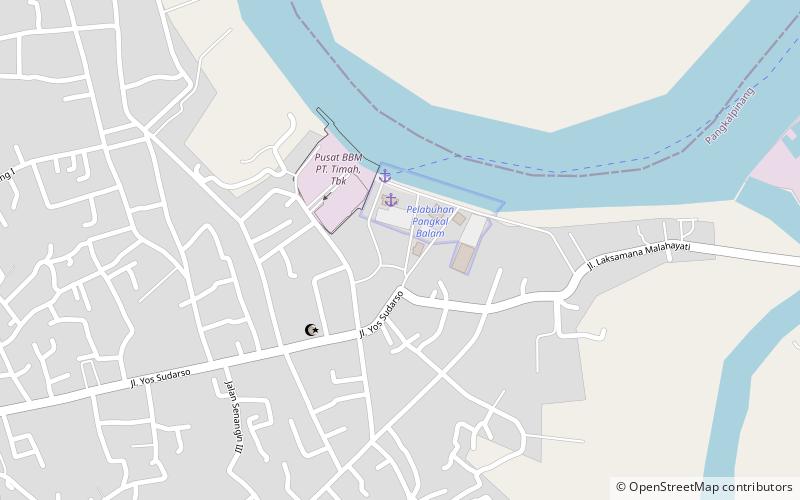
Pangkal Pinang offers many attractions and places to visit. Here are the most important ones: Pangkal Balam. Below you will find a complete list of places worth visiting.
Best Time To Visit Pangkal Pinang
Learn when is the best time to travel to Pangkal Pinang weather-wise and what to expect in each season.