Pantar

Gallery (1)
Map
Map
Facts and practical information
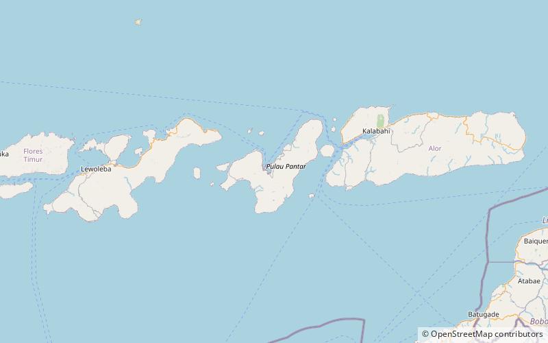
Pantar is the second largest island in the Indonesian Alor Archipelago, after Alor. To the east is the island of Alor and other small islands in the archipelago; to the west is the Alor Strait, which separates it from the Solor Archipelago. To the south is the Ombai Strait, and 72 kilometres away, the island of Timor. To the north is the Banda Sea. Pantar is about 50 kilometres north-to-south, and varies from 11 to 29 kilometres in east-west width. It has an area of 776.12 square kilometres. The main towns on the island are Baranusa and Kabir. Administratively, the island is part of the Alor Regency. ()
Local name: Pulau Pantar Area: 277.99 mi²Archipelago: Alor archipelago, Lesser Sunda IslandsCoordinates: 8°23'1"S, 124°7'59"E
Location
East Nusa Tenggara
ContactAdd
Social media
Add