Tampaksiring Palace, Tampaksiring
Map

Map

Facts and practical information
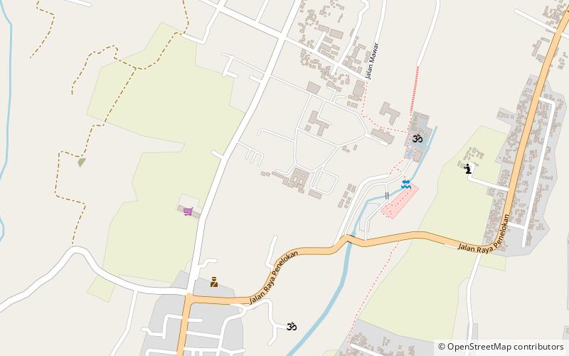
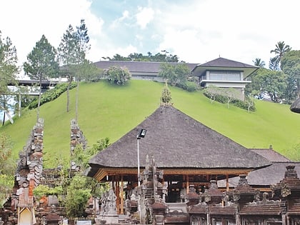
The Tampaksiring Palace is one of 6 Presidential Palaces of Indonesia, it is located in Tampaksiring, Gianyar Regency, Bali. Built in 1957 and finished in 1963, unlike other presidential palaces of Indonesia that mostly were inherited from the colonial period of Dutch East Indies, Istana Tampaksiring was built after the independence of Indonesia, and built not in colonial Indies Empire style, but in modernism combined with elements of Balinese architecture. ()
Local name: Istana TampaksiringCoordinates: 8°24'56"S, 115°18'43"E
Day trips
Tampaksiring Palace – popular in the area (distance from the attraction)
Nearby attractions include: Tirta Empul, Gunung Kawi, Pura Kehen, The White Herons of Petulu.
Frequently Asked Questions (FAQ)
Which popular attractions are close to Tampaksiring Palace?
Nearby attractions include Tirta Empul, Tampaksiring (8 min walk), Gunung Kawi, Tampaksiring (14 min walk).


