Pantai Pandanan, Lombok

Gallery (1)
Map
Map
Facts and practical information
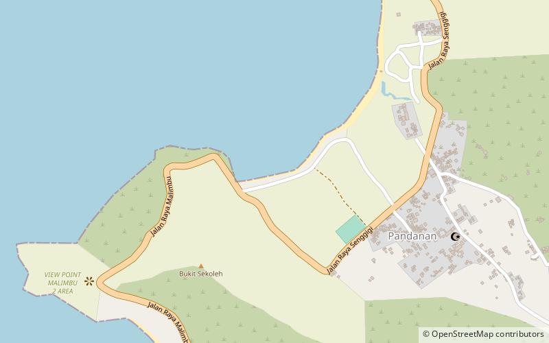
Pantai Pandanan (address: Pandanan Desa maLaka Kec. pemenang KL) is a place located in Lombok (West Nusa Tenggara province) and belongs to the category of beach.
It is situated at an altitude of 10 feet, and its geographical coordinates are 8°25'10"S latitude and 116°3'0"E longitude.
Among other places and attractions worth visiting in the area are: Gili Islands (island, 124 min walk), Senggigi (locality, 136 min walk).
Coordinates: 8°25'10"S, 116°3'0"E
Day trips

