Tegal Wangi Beach, Jimbaran

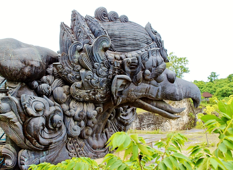
Gallery (1)
Map
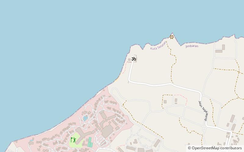
Map
Facts and practical information
Tegal Wangi Beach (address: Jalan Pantai Tegal Wangi) is a place located in Jimbaran (Bali province) and belongs to the category of beach, park, outdoor activities.
It is situated at an altitude of 52 feet, and its geographical coordinates are 8°46'57"S latitude and 115°8'28"E longitude.
Among other places and attractions worth visiting in the area are: Balangan (nature, 32 min walk), Jimbaran Beach (beach, 43 min walk), New Kuta Golf, Bukit Peninsula (golf, 45 min walk).
Elevation: 52 ft a.s.l.Coordinates: 8°46'57"S, 115°8'28"E
Address
Jalan Pantai Tegal WangiJimbaran
ContactAdd
Social media
Add
Day trips