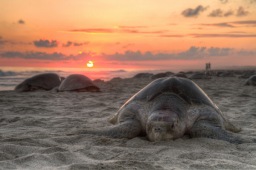
Teluk Cenderawasih National Park
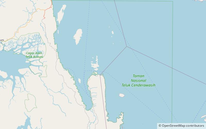
Map
Map

Facts and practical information
Teluk Cenderawasih National Park is the largest marine national park of Indonesia, located in Cenderawasih Bay, south-east of Bird's Head Peninsula. It includes the islands of Mioswaar, Nusrowi, Roon, Rumberpon and Yoop. The park protects a rich marine ecosystem, with over 150 recorded coral species, for which it is considered a potential World Heritage Site. ()
Local name: Taman Nasional Teluk Cenderawasih Established: 2002 (24 years ago)Area: 5611.98 mi²Elevation: 0 ft a.s.l.Coordinates: 2°22'30"S, 134°37'59"E
Location
West Papua
ContactAdd
Social media
Add
Best Ways to Experience the Park
Wildlife
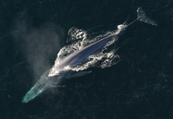
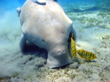
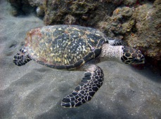
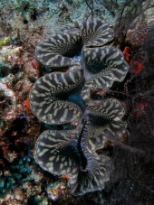
AnimalsSee what popular animal species you can meet in this location.
More
Show more

