Banda Neira
Map

Map

Facts and practical information
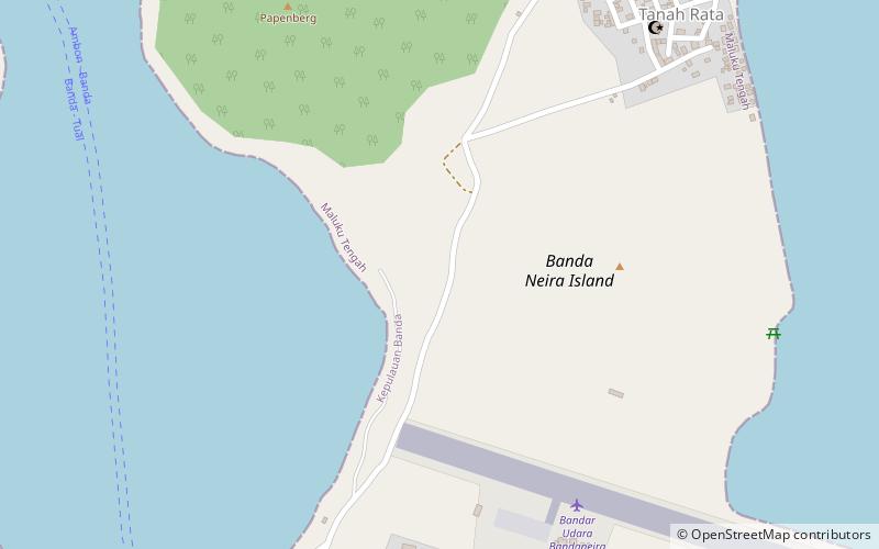
Banda Neira is an island in the Banda Islands, Indonesia. It is administered as part of the administrative Banda Islands District within the Central Maluku Regency in the province of Maluku. To the south is the main town of the same name, which is the largest town in the archipelago with around 7,000 inhabitants. ()
Alternative names: Area: 1.16 mi²Maximum elevation: 820 ftArchipelago: Banda IslandsCoordinates: 4°31'1"S, 129°54'7"E
Location
Maluku
ContactAdd
Social media
Add
Day trips
Banda Neira – popular in the area (distance from the attraction)
Nearby attractions include: Fort Belgica, Mount Api, Fort Nassau, Lontor.


