Mount Mahawu
Map

Map

Facts and practical information
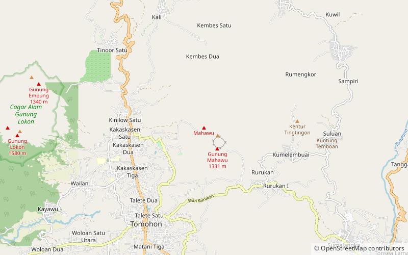
Mount Mahawu is a stratovolcano located immediately east from Lokon-Empung volcano in North Sulawesi, Indonesia. The volcano is capped with 180 m wide and 140 m deep crater with two pyroclastic cones in the northern flanks. A small explosive eruption was recorded in 1789. In 1994, fumaroles, mudpots and small geysers activities were observed along the greenish shore of a crater lake. ()
Location
North Sulawesi
ContactAdd
Social media
Add
Day trips
Mount Mahawu – popular in the area (distance from the attraction)
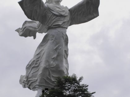
Nearby attractions include: Christ Blessing, Lokon-Empung, Mount Lokon, Mount Empung.


