Mount Merapi
Facts and practical information
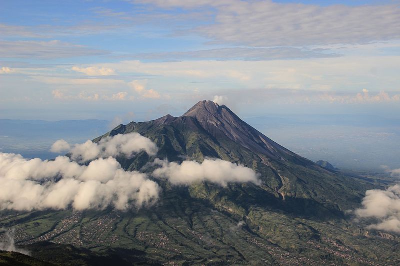
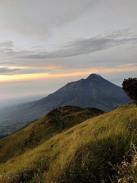
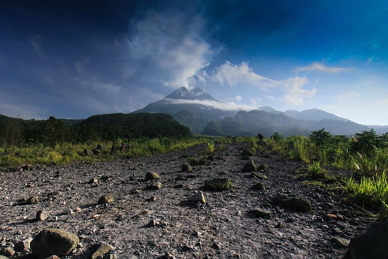
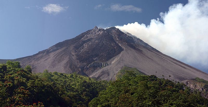
Mount Merapi, Indonesia's most active volcano, is a towering and formidable natural wonder that dominates the landscape of Central Java. Known as the "Mountain of Fire," Merapi is an integral part of the island's geography and culture. Rising to a height of 2,930 meters, it is not only a scenic marvel but also a source of fertile soil for the surrounding agricultural lands due to its periodic eruptions.
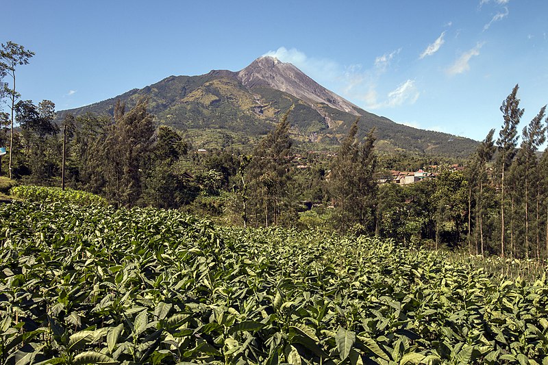
This stratovolcano has a history of frequent eruptions, with significant events recorded regularly since the 16th century. The most recent major eruptions occurred in 2010, causing widespread damage and forcing the evacuation of thousands of residents. Despite the risks, the fertile slopes of Merapi support a dense population that relies on the rich volcanic soil for farming.
Merapi is part of the Pacific Ring of Fire, where tectonic plate movement generates a large amount of seismic activity. The volcano's name translates to "Mountain of Fire" in the Javanese language, a fitting title for a peak that has become synonymous with its explosive nature.
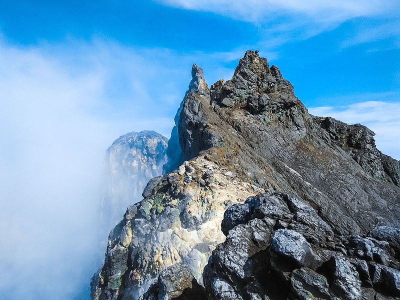
For adventurous tourists and volcanology enthusiasts, Mount Merapi offers guided treks to witness its steaming craters and moon-like landscape. The nearby city of Yogyakarta serves as a base for visitors to explore the region and learn about the volcano's cultural significance. Local folklore is rich with tales of spirits and deities that reside on the mountain, adding a mystical layer to its imposing presence.
Mount Merapi – popular in the area (distance from the attraction)
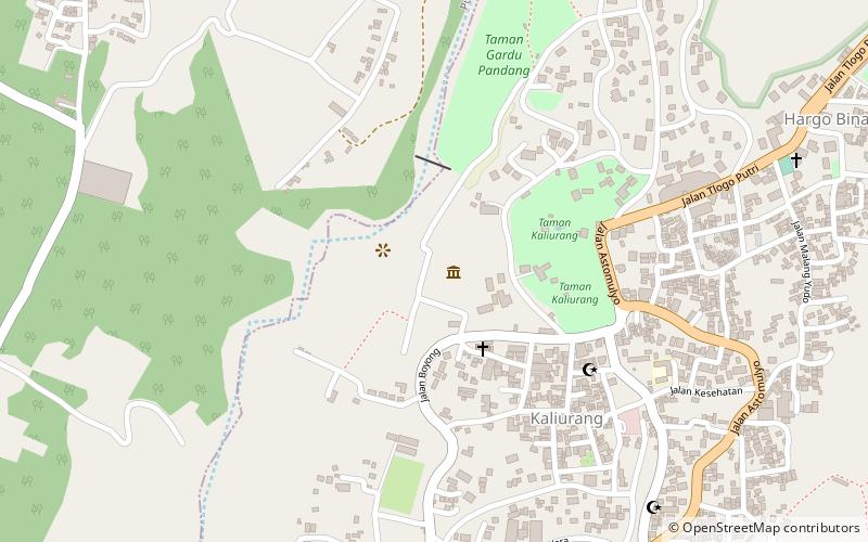
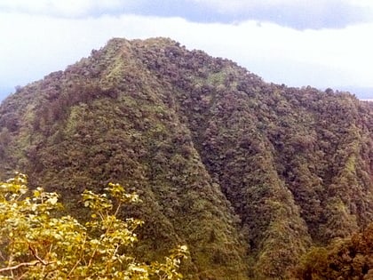
Nearby attractions include: Ullen Sentalu Museum, Karmawibhangga Museum, Turgo.


