Kiaraberes-Gagak, Mount Halimun Salak National Park

Map
Facts and practical information
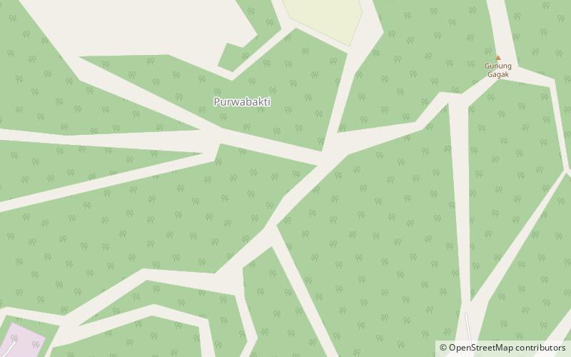
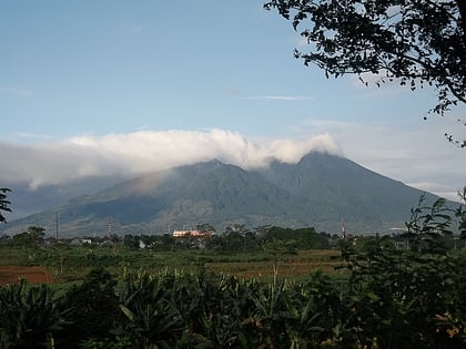
Mount Kiaraberes-Gagak or Mount Perbakti-Gagak is the westernmost volcano on Java island. It is an eroded stratovolcano with fumarolic areas on its flanks. ()
Local name: Gunung Kiaraberes-Gagak Last eruption: 1939Elevation: 4957 ftCoordinates: 6°43'48"S, 106°39'0"E
Address
Mount Halimun Salak National Park
ContactAdd
Social media
Add
Day trips
Kiaraberes-Gagak – popular in the area (distance from the attraction)
Nearby attractions include: Salak, Perbakti.

