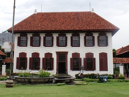
VIJ Stadium, Jakarta
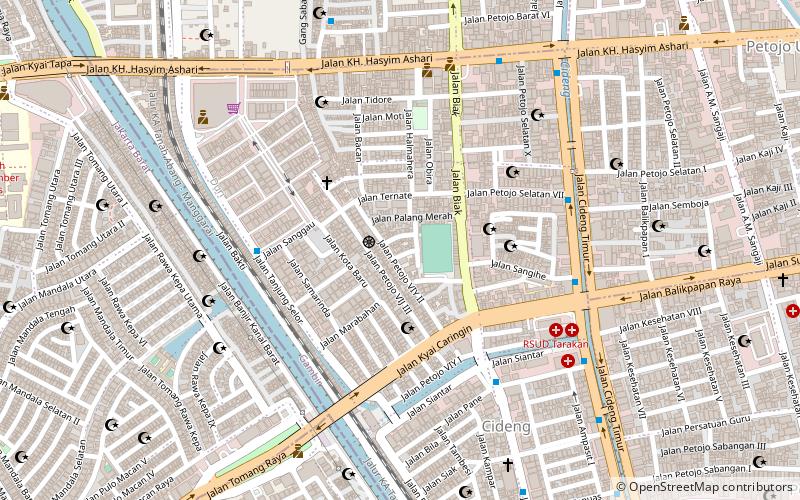
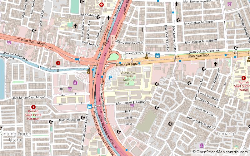
Map
Facts and practical information
VIJ Stadium was used by the Dutch East Indies football club Voetbalbond Indonesische Jacatra, which was founded in 1928, and in 1950 the stadium was renamed Persija Jakarta. ()
Local name: Stadion VIJCapacity: 500Coordinates: 6°10'12"S, 106°48'25"E
Day trips
VIJ Stadium – popular in the area (distance from the attraction)
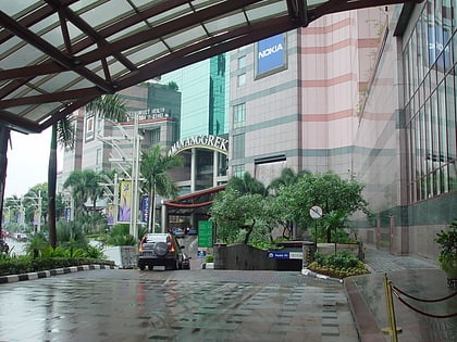
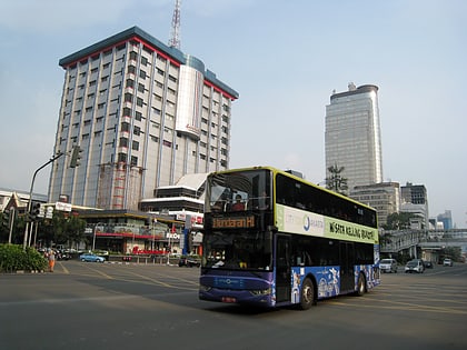
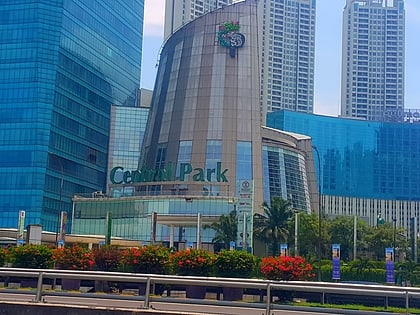
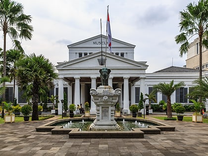
Nearby attractions include: Mall Taman Anggrek, Sarinah, Central Park, National Museum.
Frequently Asked Questions (FAQ)
Which popular attractions are close to VIJ Stadium?
Nearby attractions include Jakarta City Hall, Jakarta (22 min walk), Museum Taman Prasasti, Jakarta (24 min walk).
How to get to VIJ Stadium by public transport?
The nearest stations to VIJ Stadium:
Bus
Train
Bus
- RS Sumber Waras • Lines: 3 (19 min walk)
- Harmoni Central Busway • Lines: 1, 2, 3 (25 min walk)
Train
- Duri (27 min walk)
- Tanah Abang (29 min walk)
