Surabaya City Hall, Surabaya
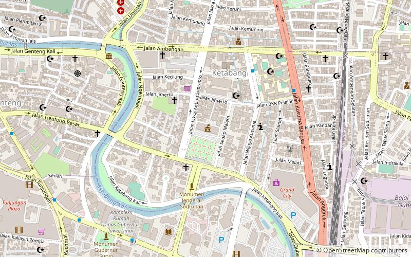
Map
Facts and practical information
Surabaya City Hall is the administrative center of the city of Surabaya. The building was built by Cosman Citroen in the 1920s. The building is one of the example of 20th century buildings designed in a tropical-conscious climate of Indonesia, the style is known as the New Indies Style. ()
Local name: Balai Kota SurabayaCoordinates: 7°15'33"S, 112°44'49"E
Day trips
Surabaya City Hall – popular in the area (distance from the attraction)
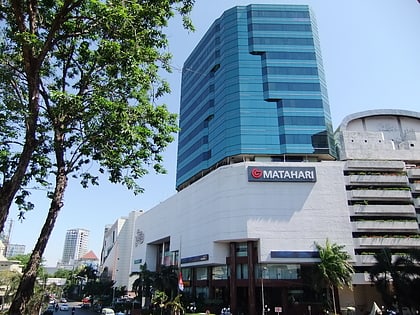
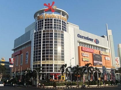
Nearby attractions include: Tunjungan Plaza, BG Junction, Tugu Pahlawan, Al-Akbar Mosque.
Frequently Asked Questions (FAQ)
Which popular attractions are close to Surabaya City Hall?
Nearby attractions include Monumen Kapal Selam, Surabaya (13 min walk), Tambaksari, Surabaya (15 min walk), Al-Akbar Mosque, Surabaya (19 min walk).
How to get to Surabaya City Hall by public transport?
The nearest stations to Surabaya City Hall:
Train
Bus
Train
- Surabaya Gubeng (14 min walk)
- Surabaya Kota (30 min walk)
Bus
- Stasiun Surabaya Gubeng (14 min walk)
- Stasiun Surabaya Kota (31 min walk)
