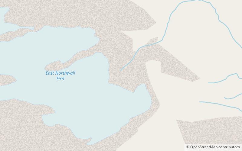
Ngga Pulu
Map

Map

Facts and practical information
Ngga Pulu is a summit on the north rim of Mount Carstensz in the western part of the island of New Guinea rising 4,862 metres. Trigonometric measurements showed that Ngga Pulu was the highest mountain of New Guinea and also the highest summit of the Australia-New Guinea continent. The elevation of Ngga Pulu in 1936 was about 4,907 m, and it was the highest and most prominent peak between the Himalaya and the Andes. However, due to glacial melting, Ngga Pulu lost a lot of elevation in the 20th century. ()
Alternative names: First ascent: 1936Elevation: 15951 ftProminence: 328 ftCoordinates: 4°3'59"S, 137°11'17"E
Location
Papua
ContactAdd
Social media
Add
Day trips
Ngga Pulu – popular in the area (distance from the attraction)
Nearby attractions include: Puncak Jaya, East Northwall Firn, Sumantri, Sudirman Range.


