Cempaka Putih, Jakarta
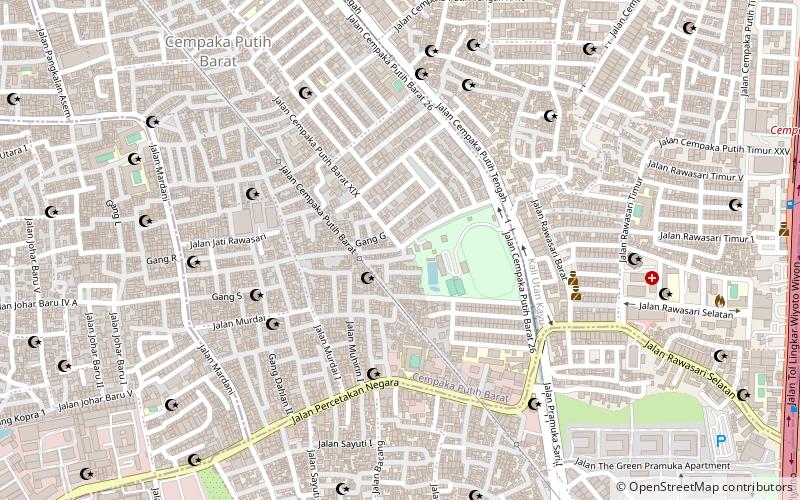
Map
Facts and practical information
Cempaka Putih is a district of Central Jakarta, Indonesia. Cempaka Putih is roughly bounded by Jenderal Ahmad Yani bypass highway to the east, Pramuka boulevard to the south, Letjend Suprapto boulevard to the north, and a railway line to the west. The name "Cempaka Putih" derived from flowering plant white champaca. ()
Address
Jakarta Pusat (Cempaka Putih)Jakarta
ContactAdd
Social media
Add
Day trips
Cempaka Putih – popular in the area (distance from the attraction)
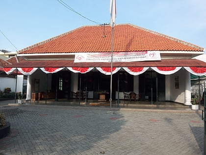
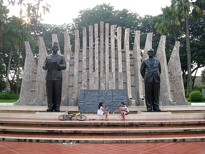
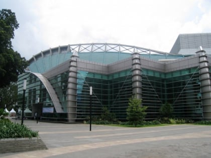
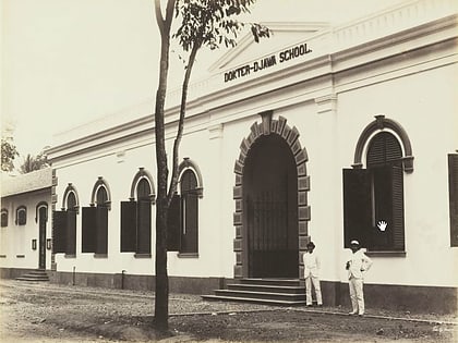
Nearby attractions include: Youth Pledge Museum, Taman Proklamasi, Ismail Marzuki Park, Museum Kebangkitan Nasional.
Frequently Asked Questions (FAQ)
How to get to Cempaka Putih by public transport?
The nearest stations to Cempaka Putih:
Bus
Train
Bus
- Cempaka Tengah • Lines: 2 (25 min walk)
- Galur • Lines: 2 (28 min walk)
Train
- Kramat (25 min walk)
- Gang Sentiong (29 min walk)
