Tenggilis Mejoyo, Surabaya
Map
Facts and practical information
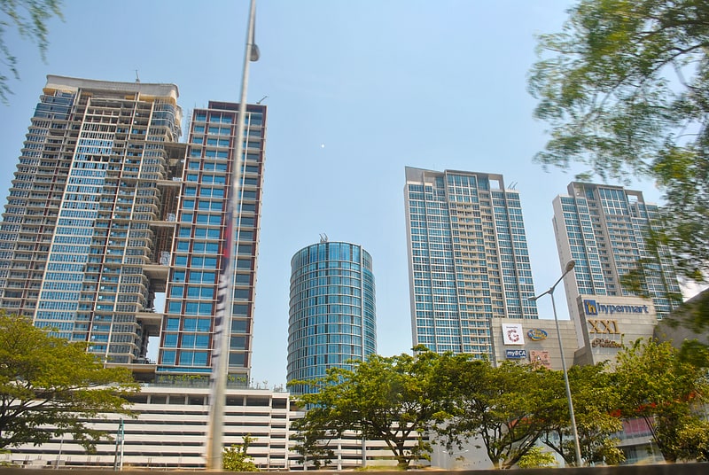
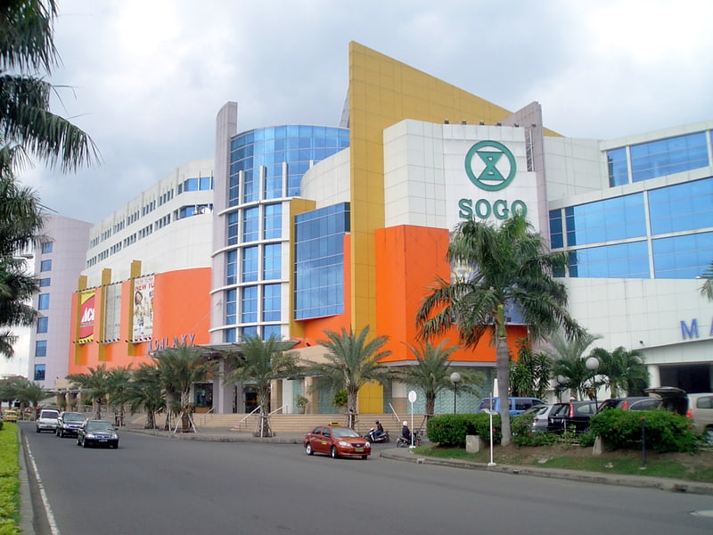
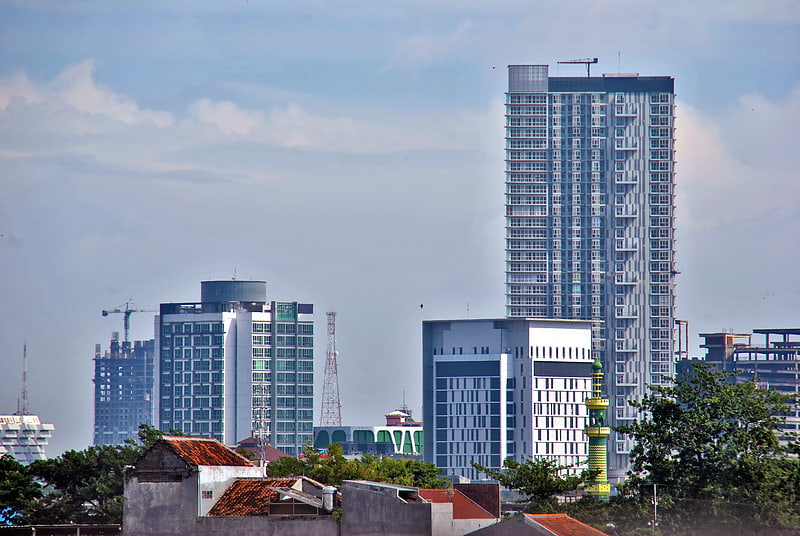
Tenggilis Mejoyo is a subdistrict in the East Surabaya with an area of 5.52 square kilometers that accommodate 37153 males and 39001 females. ()
Address
Surabaya
ContactAdd
Social media
Add
Getting there by public transportation
Public transportation stops near this location
- Bus
 Bus
Bus
- Calculate routeTerminal Bus Bratang Jaya 28 min walk
Day trips


Frequently Asked Questions (FAQ)
How to get to Tenggilis Mejoyo by public transport?
The nearest stations to Tenggilis Mejoyo:
Bus
Bus
- Terminal Bus Bratang Jaya (28 min walk)