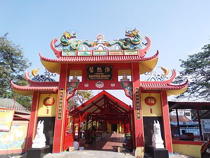
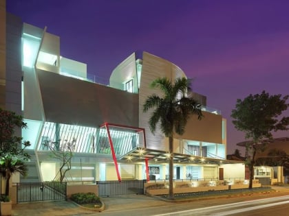
Pademangan, Jakarta
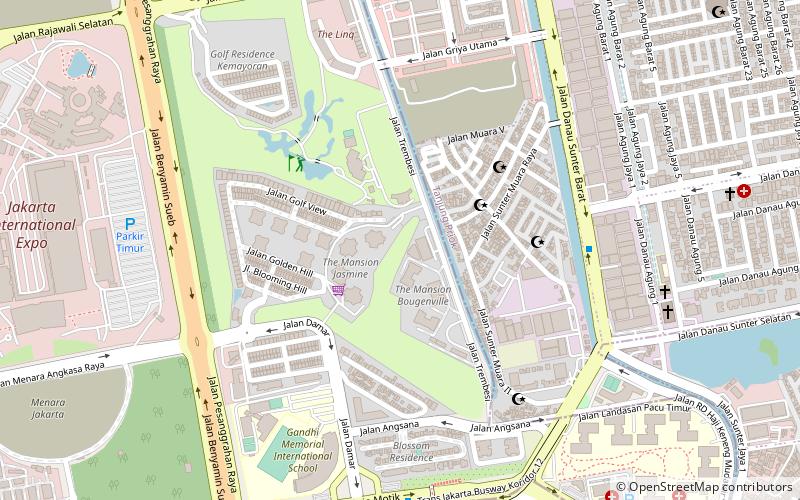
Map
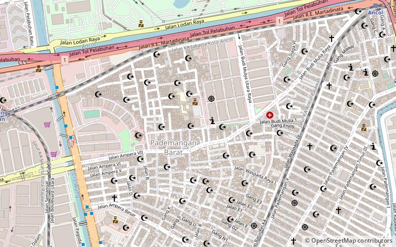
Gallery

Facts and practical information
Pademangan is a port-associated subdistrict of North Jakarta, Indonesia. It stretches from the Sunda Kelapa Harbor on the east to the western area of Tanjung Priok Harbor to the east. Geographically, it is a plain with an average height of 75 centimeters above the high tide sea level. ()
Address
Jakarta Utara (Pademangan)Jakarta
ContactAdd
Social media
Add
Day trips
Pademangan – popular in the area (distance from the attraction)
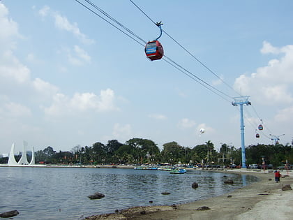
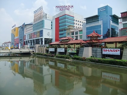
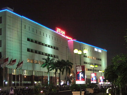
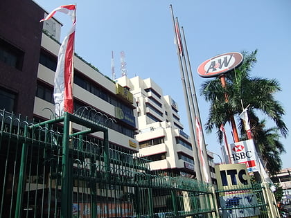
Nearby attractions include: Dunia Fantasi, Mangga Dua, Jakarta International Expo, ITC Mangga Dua.
Frequently Asked Questions (FAQ)
How to get to Pademangan by public transport?
The nearest stations to Pademangan:
Bus
Train
Bus
- Pademangan • Lines: 5 (10 min walk)
- Gunung Sahari Mangga Dua • Lines: 5 (11 min walk)
Train
- Kampung Bandan (16 min walk)
- Ancol (17 min walk)
