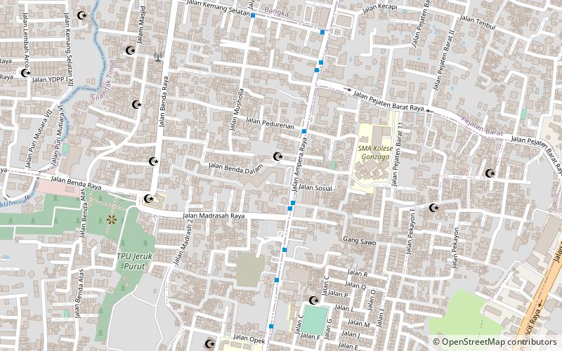
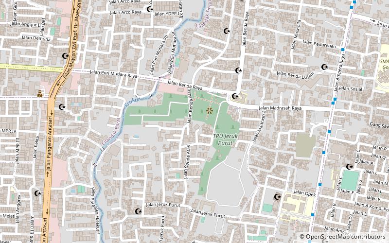
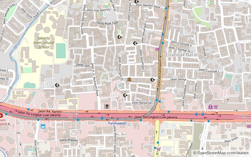
Trek Zone

Pamulang

#344 among destinations in Indonesia

Neighbourhood
Pamulang location map
Map

Facts and practical information
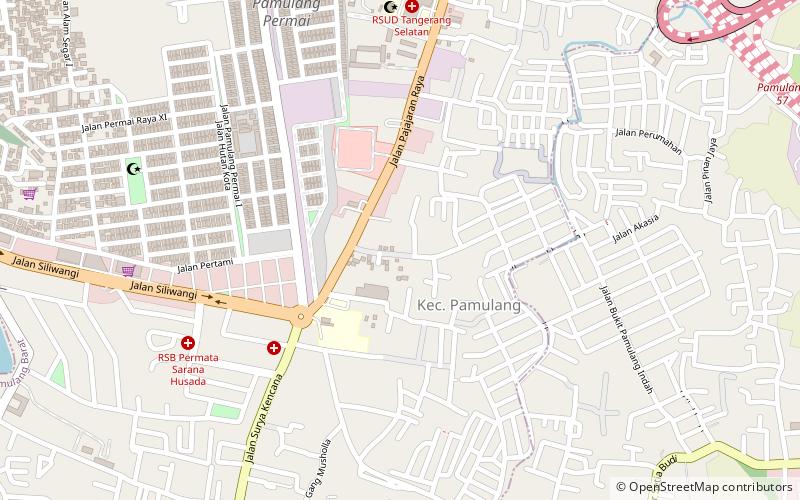
Alternative names: Population: 174.6 thous.Area: 10.36 mi²Coordinates: 6°20'34"S, 106°44'18"E
Location

BantenIndonesia

ContactAdd
Social media
Add
Day trips

Pamulang – popular in the area (distance from the attraction)

Nearby attractions include: Pondok Indah Mall, Masjid Dian Al-Mahri, National Archives of Indonesia, TPU Jeruk Purut.

  • pondok indah mall jakarta6.2 miNE
  • masjid dian al mahri jakarta3.7 miSE
  • national archives of indonesia location map
    7.1 miNE
  • tpu jeruk purut location map
    6.7 miNE
  • basoeki abdullah museum jakarta location map
    5.2 miNE
  • south tangerang jakarta3.8 miNW
  • pondok indah water park jakarta6.1 miNE
  • museum reksa artha jakarta location map
    5 miNE
  • cilandak location map
    5.2 miNE
  • pejaten village location map
    6.4 miNE
  • syarif hidayatullah state islamic university jakarta location map
    2.8 miNE

Where to next? Visit banten Banten region page or discover the top tourist attractions in Indonesia.