An-Nawier Mosque, Jakarta
Map
Map

Facts and practical information
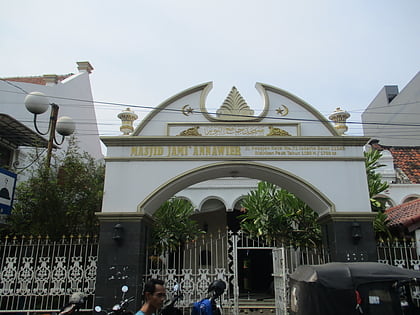
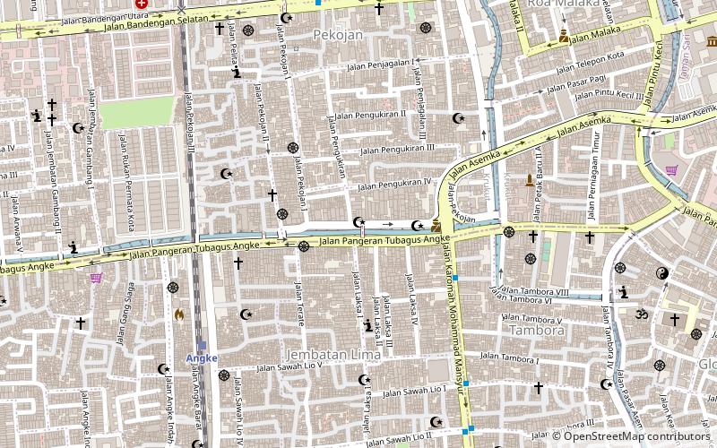
An-Nawier Mosque is one of the oldest mosques in Jakarta, Indonesia. It is located at Pekojan, Tambora, a district of Jakarta. The mosque is a symbol of Arab civilization in Jakarta. The mosque is large and ancient architecture stands majestically in one densely populated settlement of West Jakarta. The settlement was once a region whose majority population is descended from Arabs, Yemen and India. Although the number of Arabs is now no longer prominent, but traces can still be found until now in Pekojan. ()
Coordinates: 6°8'29"S, 106°48'16"E
Address
Jakarta Barat (Tambora)Jakarta
ContactAdd
Social media
Add
Day trips
An-Nawier Mosque – popular in the area (distance from the attraction)
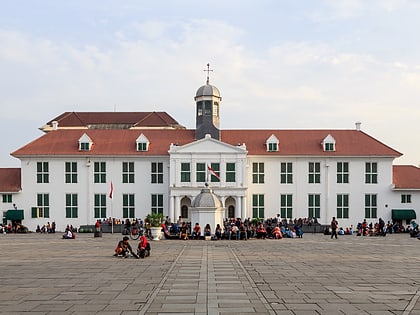
Nearby attractions include: Jakarta History Museum, Glodok, Emporium Pluit Mall, Pluit Junction.
Frequently Asked Questions (FAQ)
Which popular attractions are close to An-Nawier Mosque?
Nearby attractions include Al-Anshor Mosque, Jakarta (7 min walk), Al-Mansur Mosque, Jakarta (9 min walk), Jami Kampung Baru Inpak Mosque, Jakarta (10 min walk), Angke Mosque, Jakarta (16 min walk).
How to get to An-Nawier Mosque by public transport?
The nearest stations to An-Nawier Mosque:
Train
Bus
Train
- Angke (9 min walk)
- Jakarta Kota (19 min walk)
Bus
- Kota • Lines: 1 (18 min walk)
- Glodok • Lines: 1 (21 min walk)
