Grogol Petamburan, Jakarta
Map
Facts and practical information
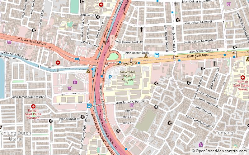
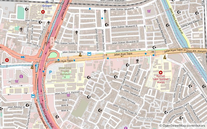
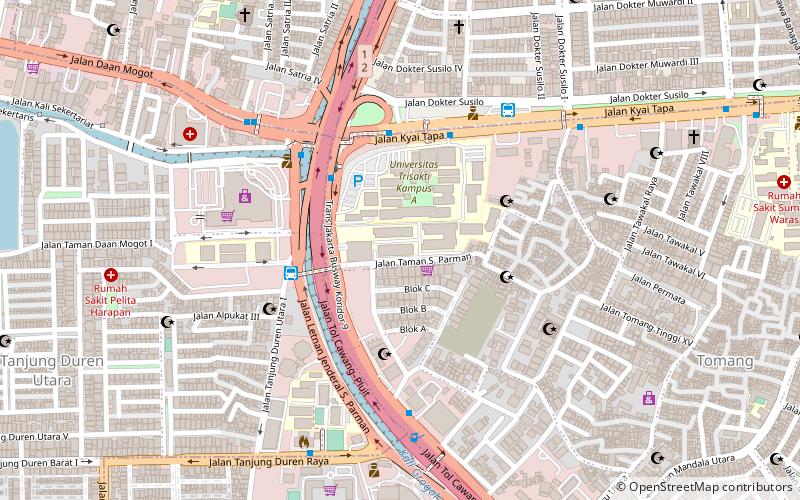
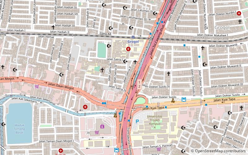
Grogol Petamburan is a district of West Jakarta, Indonesia, roughly bounded by the West Flood Canal to the east, Angke Canal to the west and to the north, and Jakarta-Merak Tollway to the south. It has an area 1,130 ha. As of 2004, the use of the land was 58.0% for housing, 12.5% for offices, 3.8% in parkland, and 2.2% in farmland with the remainder in other uses or idle. ()
Address
Jakarta Barat (Grogol Petamburan)Jakarta
ContactAdd
Social media
Add
Day trips
Grogol Petamburan – popular in the area (distance from the attraction)
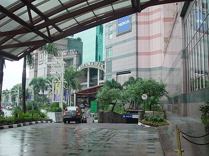
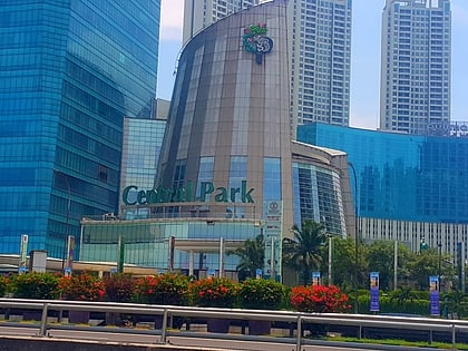
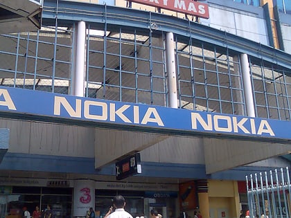
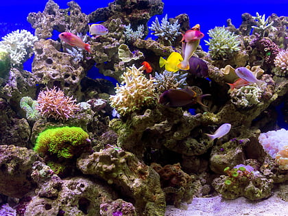
Nearby attractions include: Mall Taman Anggrek, Central Park, ITC Roxy Mas, Jakarta Aquarium.
Frequently Asked Questions (FAQ)
Which popular attractions are close to Grogol Petamburan?
Nearby attractions include Trisakti Museum, Jakarta (7 min walk), Tarumanagara University, Jakarta (9 min walk), Trisakti University, Jakarta (11 min walk), Jakarta Aquarium, Jakarta (19 min walk).
How to get to Grogol Petamburan by public transport?
The nearest stations to Grogol Petamburan:
Bus
Train
Bus
- Jelambar • Lines: 3, 8 (4 min walk)
- Grogol 1 • Lines: 3 (5 min walk)
Train
- Grogol (6 min walk)
- Duri (28 min walk)
