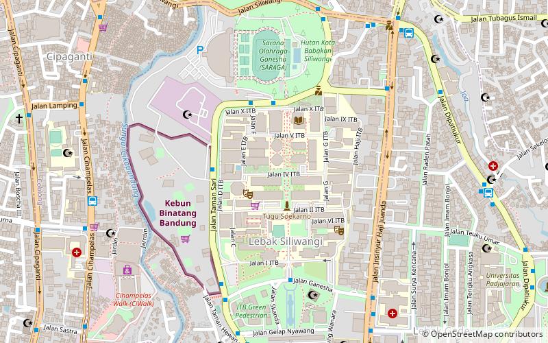
Dago, Bandung
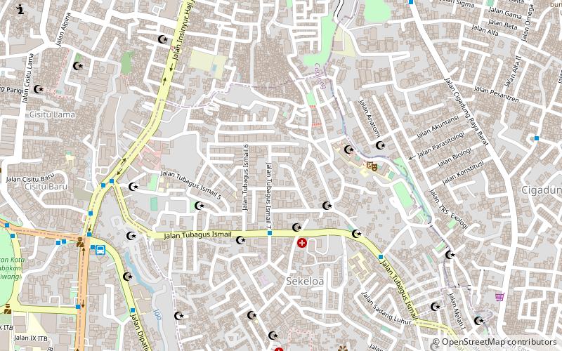
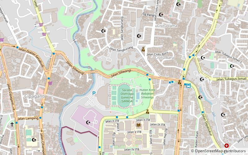
Map
Facts and practical information
Address
Bandung
ContactAdd
Social media
Add
Getting there by public transportation
Public transportation stops near this location
- Bus
 Bus
Bus
- Calculate routeTubagus Ismail 7 4 min walk
- Calculate routeTubagus Ismail/Cigadung 7 min walk
- Calculate routeTubagus Ismail Depan/PUSAIR 10 min walk
- Calculate routeDayTrans Dipatiukur 11 min walk
Day trips


Frequently Asked Questions (FAQ)
Which popular attractions are close to Dago?
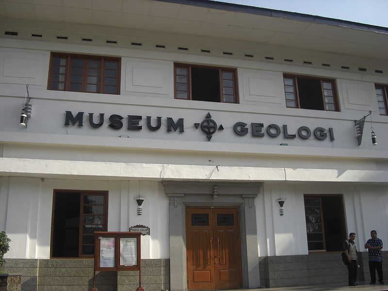
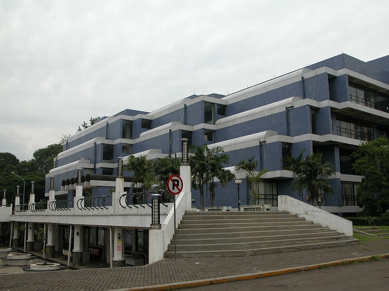
Nearby attractions include Babakan Siliwangi, Bandung (18 min walk), Padjadjaran University, Bandung (19 min walk), Perpustakaan ITB, Bandung (20 min walk), Jenderal Soedirman University, Bandung (21 min walk).
How to get to Dago by public transport?
The nearest stations to Dago:
Bus
Bus
- Tubagus Ismail 7 • Lines: 34 (4 min walk)
- Tubagus Ismail/Cigadung • Lines: 33, 34 (7 min walk)