Abrisham Bridge, Tehran
Map
Gallery
Facts and practical information
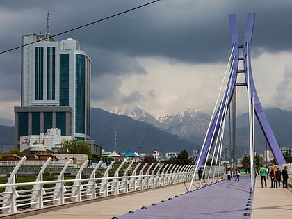
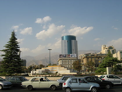
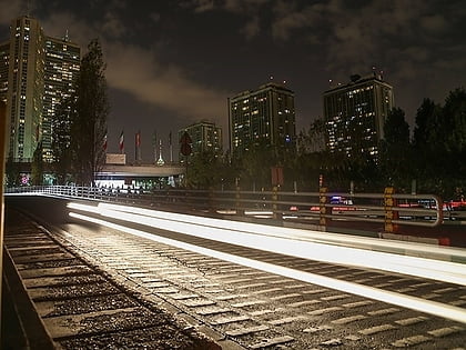
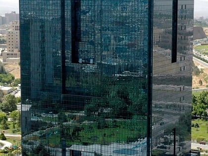
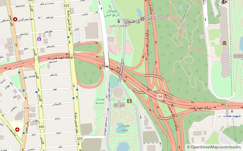
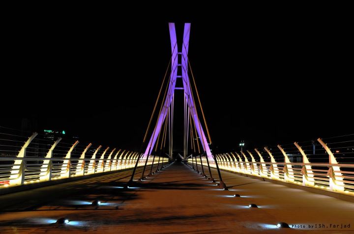
Abrisham Bridge, literally the "Silk Bridge", is a cable-stayed bridge in Northern Tehran, Iran. It is located about 100 meters south of the Iran's Shipping Lines Tower, in the district of Abbas Abad. Extending in a north-south direction, it is intended solely for pedestrian traffic. It bridges the urban highway Hemmat Expressway, and connects the parks Ab-o-Atash and Nowruz. ()
Local name: پل ابریشم تهرانOpened: 2008 (18 years ago)Coordinates: 35°45'4"N, 51°25'7"E
Address
منطقه 6 (mntqh 6)Tehran
ContactAdd
Social media
Add
Day trips
Abrisham Bridge – popular in the area (distance from the attraction)
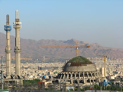
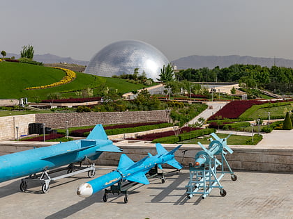
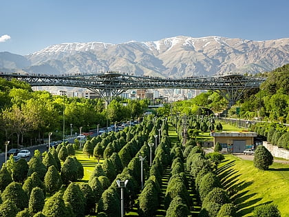
Nearby attractions include: Grand Mosalla mosque of Tehran, Arjantin Square, Holy Defense Museum, Tabiat Bridge.
Frequently Asked Questions (FAQ)
Which popular attractions are close to Abrisham Bridge?
Nearby attractions include Tabiat Bridge, Tehran (7 min walk), Holy Defense Museum, Tehran (11 min walk), National Library of Iran, Tehran (23 min walk).
How to get to Abrisham Bridge by public transport?
The nearest stations to Abrisham Bridge:
Bus
Metro
Bus
- پل • Lines: 363 (6 min walk)
- بیمه • Lines: 363 (7 min walk)
Metro
- Shahid Hemmat • Lines: 1 (12 min walk)
- Mosalla-ye Emam Khomeini • Lines: 1 (23 min walk)
