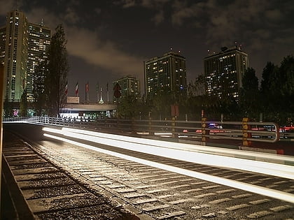
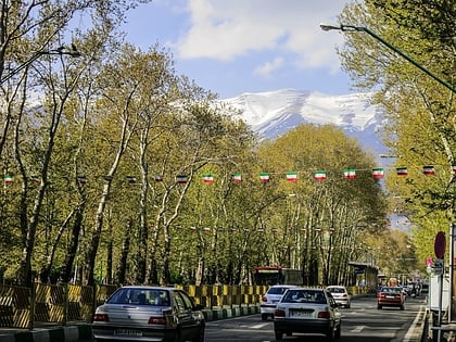
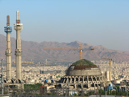
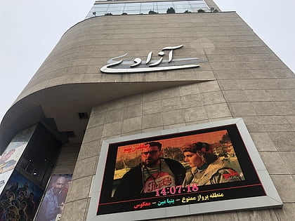
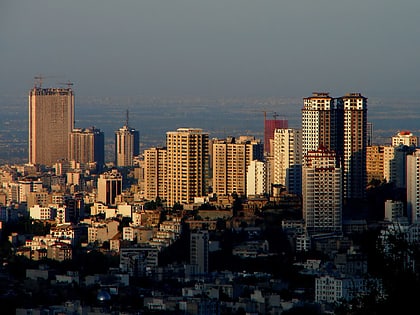
Yusef Abad, Tehran
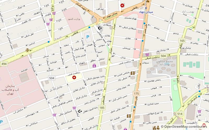
Map
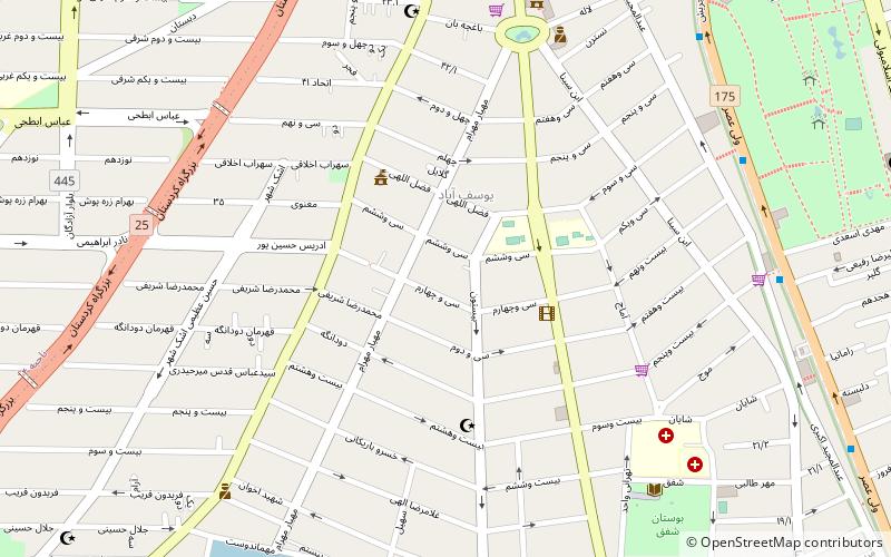
Map

Facts and practical information
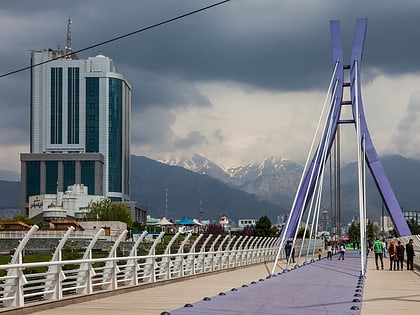
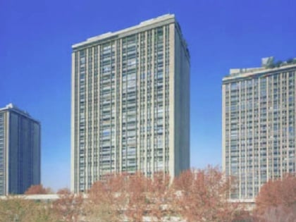
Yusef Abad is an old neighborhood of Tehran, consisting of an area developed through nearly parallel streets including; Sayed Jamaleddin Asad Abadi, Ibn-e-sina, Jahan Ara, Mahram, and Akbari. The latter is the most beautiful, and seemingly the most expensive part of it. The area was first built by Mirza Yusef Ashtiani Mostowfi ul-Mamalek in north-west of Dar-ol Xelafe Naseri, so was named after his name as Yusef Abad locality. ()
Address
منطقه 6 (mntqh 6)Tehran
ContactAdd
Social media
Add
Day trips
Yusef Abad – popular in the area (distance from the attraction)
Nearby attractions include: Valiasr Street, Grand Mosalla mosque of Tehran, Arjantin Square, Ministry of Interior Hall.
Frequently Asked Questions (FAQ)
Which popular attractions are close to Yusef Abad?
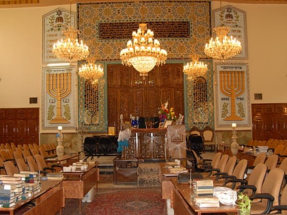
Nearby attractions include Rah-e Danesh Synagogue, Tehran (10 min walk), Valiasr Street, Tehran (10 min walk), Yusef Abad Synagogue, Tehran (13 min walk), Arjantin Square, Tehran (18 min walk).
How to get to Yusef Abad by public transport?
The nearest stations to Yusef Abad:
Bus
Metro
Bus
- Abshar, South To North - BRT 7 • Lines: 7 (9 min walk)
- Pele Sevom • Lines: 7 (10 min walk)
Metro
- Mirza-ye Shirazi • Lines: 3 (21 min walk)
- Meydan-e Jahad • Lines: 3 (24 min walk)
