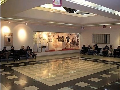
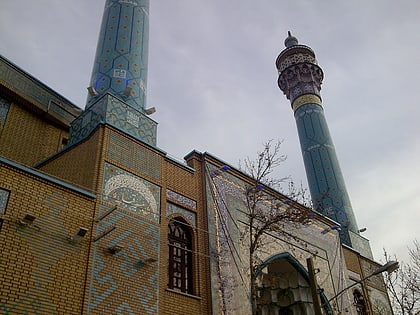
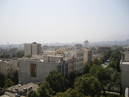
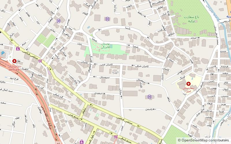
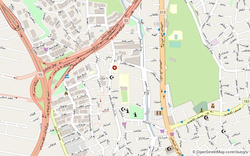
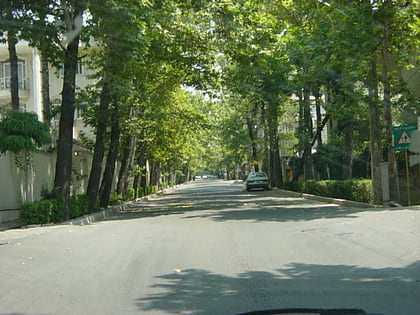
Cinema Farhang, Tehran
Map
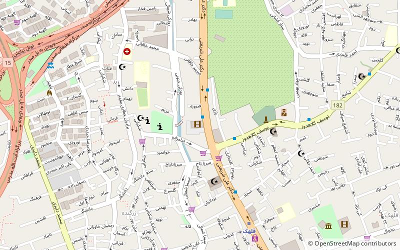
Map

Facts and practical information
Local name: سینما فرهنگCoordinates: 35°46'35"N, 51°26'10"E
Day trips
Cinema Farhang – popular in the area (distance from the attraction)
Nearby attractions include: Sabet Pasal, Mirdamad Boulevard, Gheytarieh, Qoba Mosque.
Frequently Asked Questions (FAQ)
Which popular attractions are close to Cinema Farhang?
Nearby attractions include Islamic Azad University, Tehran (5 min walk), Sabet Pasal, Tehran (22 min walk).
How to get to Cinema Farhang by public transport?
The nearest stations to Cinema Farhang:
Bus
Metro
Bus
- زرگنده • Lines: 225, 303 (3 min walk)
- مدرسه • Lines: 225 (3 min walk)
Metro
- Gholhak • Lines: 1 (7 min walk)
- Shahid Sadr • Lines: 1 (16 min walk)
