Al-Aimmah Bridge, Baghdad

Map
Facts and practical information
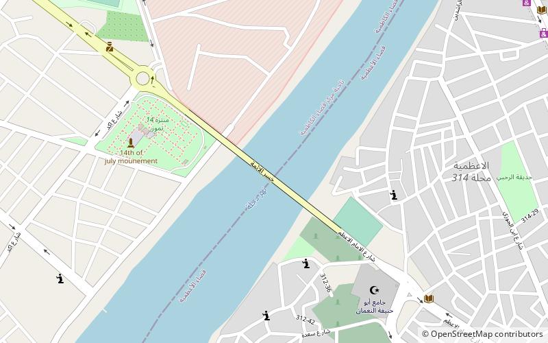
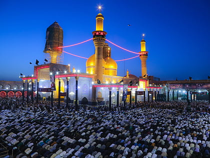
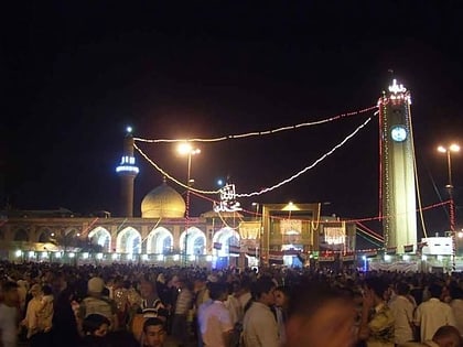
Al-Aimmah Bridge is a bridge over the river Tigris in the Iraqi capital of Baghdad. The bridge links the areas of A'dhamiyyah, which is a majority Sunni Arab area, from its east bank, with the Shi'te area of Kadhimiyyah on its west. A'dhamiyyah is where the mosque of Sunni Imam Abu Hanifah is located. Kadhimiyyah is where the Mosque of Shi'ite Imams Musa al-Kadhim and Muhammad al-Jawad is located. ()
Local name: جسر الأئمة Completed: 1983 (43 years ago)Length: 1214 ftWidth: 69 ftHeight: 183 ftCoordinates: 33°22'30"N, 44°21'20"E
Address
الكاظمية (1 الكاظمية)Baghdad
ContactAdd
Social media
Add
Day trips
Al-Aimmah Bridge – popular in the area (distance from the attraction)
Nearby attractions include: Al-Kadhimiya Mosque, Abu Hanifa Mosque, Adhamiyah, Kadhimiya.
Frequently Asked Questions (FAQ)
Which popular attractions are close to Al-Aimmah Bridge?
Nearby attractions include Abu Hanifa Mosque, Baghdad (8 min walk), Adhamiyah, Baghdad (14 min walk).
How to get to Al-Aimmah Bridge by public transport?
The nearest stations to Al-Aimmah Bridge:
Bus
Bus
- باصات ساحة عدن وجسر الأئمة (18 min walk)


