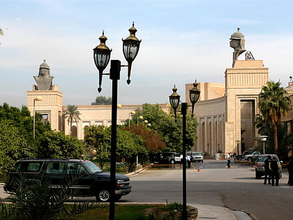
Assassins' Gate, Baghdad
Map
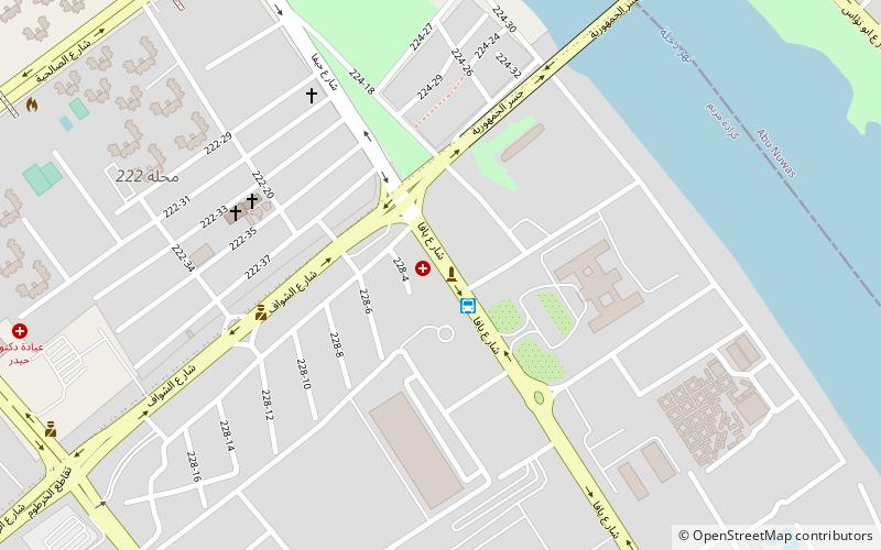
Map

Facts and practical information
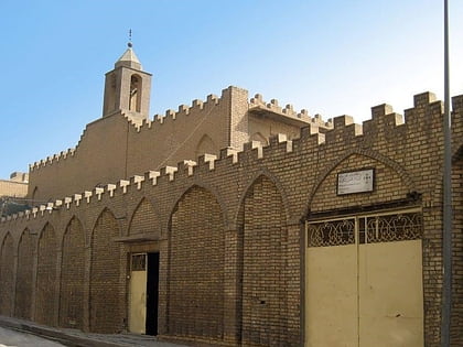
The Assassin's Gate is one of four primary points of entry to the Green Zone in Baghdad, Iraq. ()
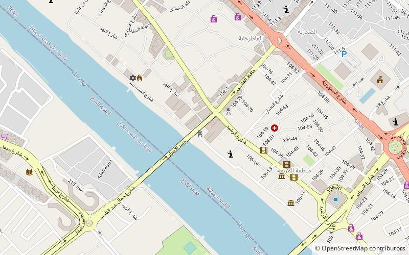
Coordinates: 33°19'13"N, 44°24'3"E
Address
الكرخ (كارادات مريم)Baghdad
ContactAdd
Social media
Add
Day trips
Assassins' Gate – popular in the area (distance from the attraction)
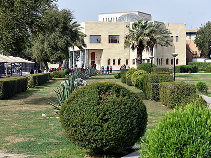
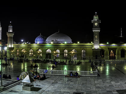
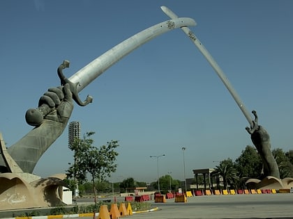
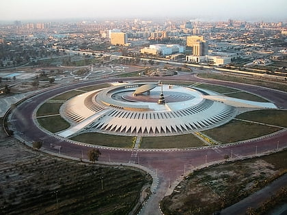
Nearby attractions include: Republican Palace, Iraq Museum, Mazar Ghous, Victory Arch.
Frequently Asked Questions (FAQ)
Which popular attractions are close to Assassins' Gate?
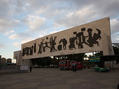
Nearby attractions include Karkh, Baghdad (7 min walk), Liberation Square, Baghdad (19 min walk), Al-Sa'adoon, Baghdad (20 min walk), Said Sultan Ali Mosque, Baghdad (22 min walk).
How to get to Assassins' Gate by public transport?
The nearest stations to Assassins' Gate:
Bus
Train
Bus
- Al-Nasr Square (21 min walk)
- كراج النجف (22 min walk)
Train
- Central Baghdad Railway Station (31 min walk)

