Haifa Street, Baghdad
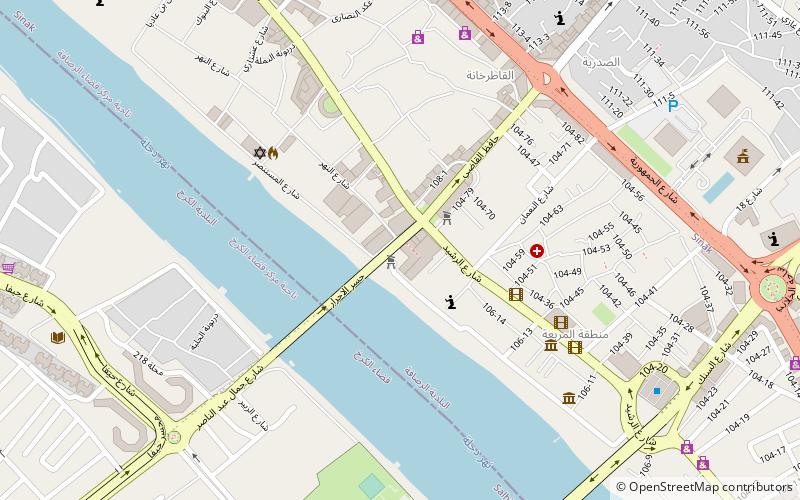
Map
Gallery
Facts and practical information
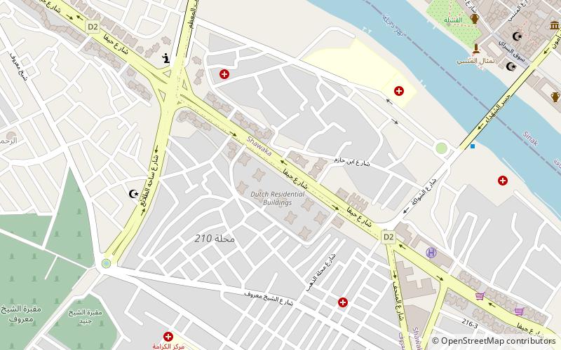
Haifa Street is a two-mile-long street in Baghdad, Iraq, named after the port city of Haifa. It runs parallel to the Tigris and, along with Yafa Street, it leads to the Assassin's Gate, an archway that served as the main entrance to the American-run Green Zone during the 2003 invasion of Iraq. The street was given its current name by Saddam Hussein in the 1980s as part of a redevelopment program, and is lined with many high-rise buildings. ()
Address
الكرخ (الشيخ المىىرۇف -شالجيا)Baghdad
ContactAdd
Social media
Add
Day trips
Haifa Street – popular in the area (distance from the attraction)
Nearby attractions include: Iraq Museum, Al-Wazeer Mosque, Al-Khulafa Mosque, Haydar-Khana Mosque.
Frequently Asked Questions (FAQ)
Which popular attractions are close to Haifa Street?
Nearby attractions include Administrative districts in Baghdad, Baghdad (7 min walk), Al-Wazeer Mosque, Baghdad (12 min walk), Al-Mustansiriya University, Baghdad (13 min walk), Mutanabbi Street, Baghdad (14 min walk).
How to get to Haifa Street by public transport?
The nearest stations to Haifa Street:
Bus
Train
Bus
- Maydan (18 min walk)
- كراج العلاوي الشمالي (21 min walk)
Train
- Central Baghdad Railway Station (23 min walk)

