Al Talaba Stadium, Baghdad
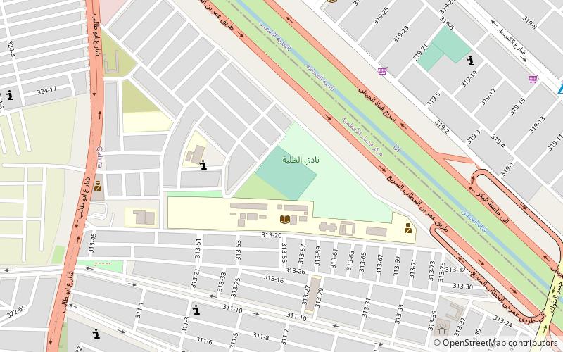
Map
Facts and practical information
Local name: ملعب الطلبةCoordinates: 33°23'12"N, 44°23'34"E
Address
ألأعظمية (القاهرة)Baghdad
ContactAdd
Social media
Add
Day trips
Al Talaba Stadium – popular in the area (distance from the attraction)
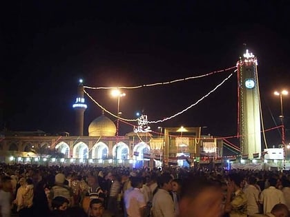
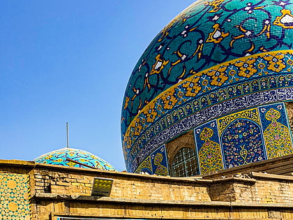
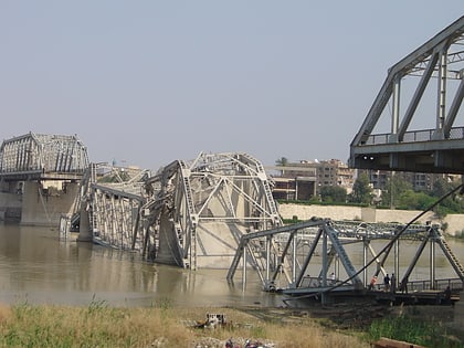
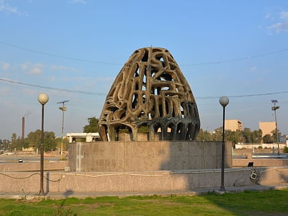
Nearby attractions include: Abu Hanifa Mosque, Haydar-Khana Mosque, Al-Sarafiya Bridge, Ashaar Baghdad.
Frequently Asked Questions (FAQ)
How to get to Al Talaba Stadium by public transport?
The nearest stations to Al Talaba Stadium:
Bus
Bus
- منطقة الـ ٦٠٠ (29 min walk)
