Al-Mada'in District

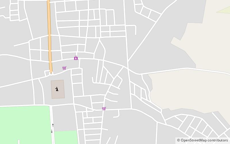
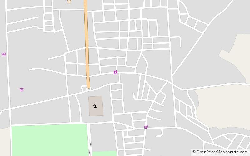
Map
Facts and practical information
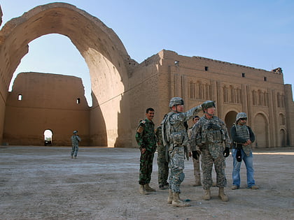
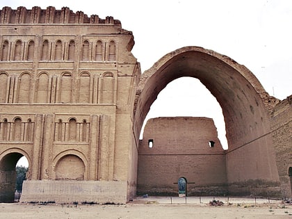
Al-Mada'in District is a district of the Baghdad Governorate, Iraq. It includes the city of Salman Pak, which incorporates the ancient ruins of Al-Mada'in, and the oldest freestanding mud brick arch in the world. Other metropolitan areas include Jisr Dyala, an urban district that borders the Baghdad city district of, the northern village of Nahrawahn with its major brickworks, and the central village of Wahedah that sits astride the Basrah Highway into Wasit Province. ()
Coordinates: 33°5'58"N, 44°35'8"E
Location
Diyala
ContactAdd
Social media
Add
Day trips
Al-Mada'in District – popular in the area (distance from the attraction)
Nearby attractions include: Ctesiphon, Salman Al-Farsi Mosque, Taq Kasra, Salman Pak.


