Diniktum, Baghdad
Map
Facts and practical information
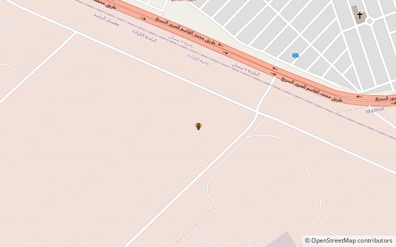
Diniktum, inscribed Di-ni-ik-tumKI, was a middle bronze-age town located somewhere in the lower Diyala region of Mesopotamia, on the Tigris river downstream from Upi and close to the northern border of Elam. It is possibly at or in the vicinity of Tell Muḥammad, which lies in south-eastern part of modern Baghdad.It is mentioned in the Harmal geographical list. ()
Address
كرّادة (الرشيد كامب)Baghdad
ContactAdd
Social media
Add
Getting there by public transportation
Public transportation stops near this location
- Bus
 Bus
Bus
- Calculate route7th of April Bus Terminal 34 min walk
Day trips


Frequently Asked Questions (FAQ)
How to get to Diniktum by public transport?
The nearest stations to Diniktum:
Bus
Bus
- 7th of April Bus Terminal (34 min walk)