Trek Zone

Ballylynan Windmill, Ballylinan
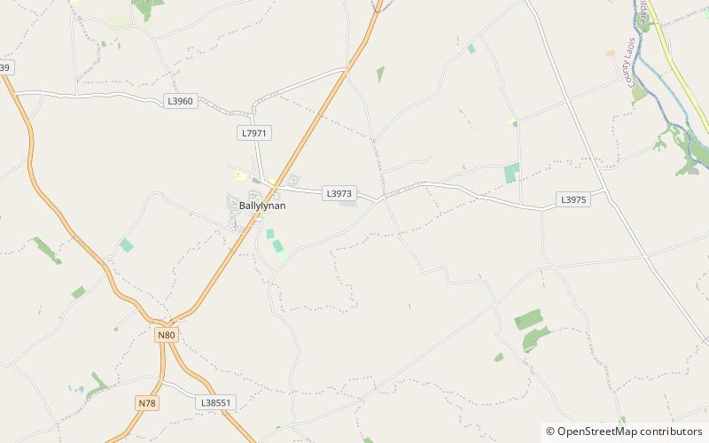
#1 among attractions in Ballylinan

Ruins
Ballylynan Windmill location map
Map

Facts and practical information

Ballylynan Windmill is a place located in Ballylinan (Laoighis county) and belongs to the category of ruins.

It is situated at an altitude of 285 feet, and its geographical coordinates are 52°56'30"N latitude and 7°1'28"W longitude.

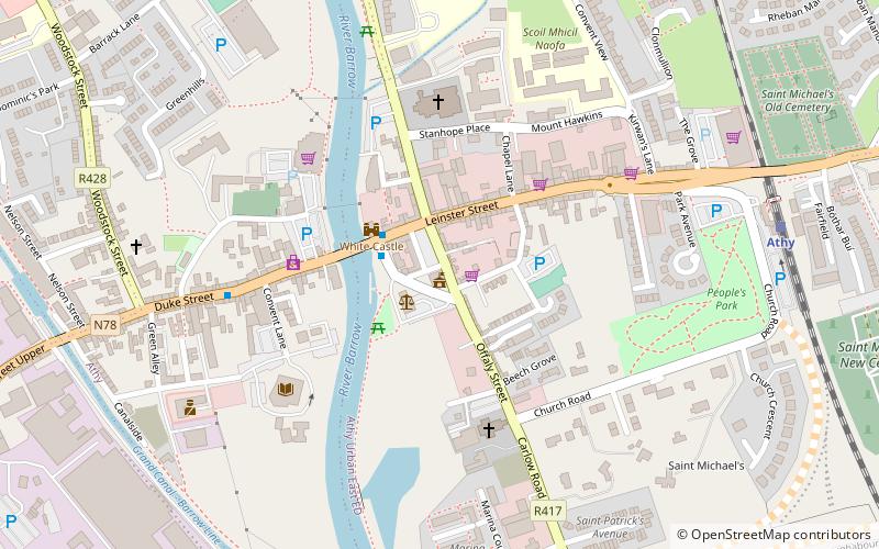
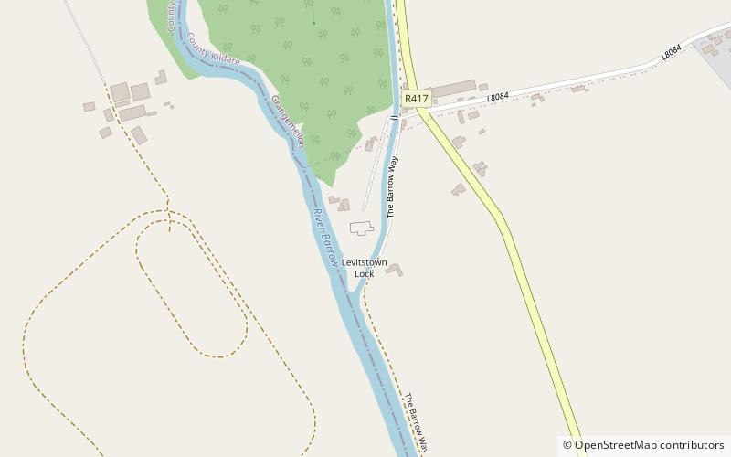
Among other places and attractions worth visiting in the area are: Levitstown Mill (ruins, 80 min walk), Athy Heritage Centre Museum, Athy (history museum, 99 min walk), Athy Priory, Athy (monastery, 99 min walk).

Coordinates: 52°56'30"N, 7°1'28"W
Address

Ballylinan Ireland

ContactAdd
Social media
Add
Day trips

Ballylynan Windmill – popular in the area (distance from the attraction)

Nearby attractions include: White's Castle, Woodstock Castle, Athy Priory, Athy Heritage Centre Museum.

  • whites castle athy3.9 miNE
  • woodstock castle athy4.1 miN
  • athy priory location map
    3.9 miNE
  • athy heritage centre museum3.9 miNE
  • stradbally steam museum6.9 miNW
  • oughaval5.7 miNW
  • oak park7 miSE
  • oak park forest park carlow location map
    7.4 miSE
  • levitstown mill location map
    3.1 miE
  • canal worker athy location map
    4 miN
  • famine family athy location map
    4.1 miN

Where to next? Visit laoighis Laoighis region page or discover the top tourist attractions in Ireland.

IrelandCarlowCavanClareCorkDonegalDublinGalwayKerryKildareKilkennyLaoighisLeitrimLimerickLongfordLouthMayoMeathMonaghanOffalyRoscommonSligoTipperaryWaterfordWestmeathWexfordWicklow