St. Joseph's Church, Dublin
Map
Gallery
Facts and practical information
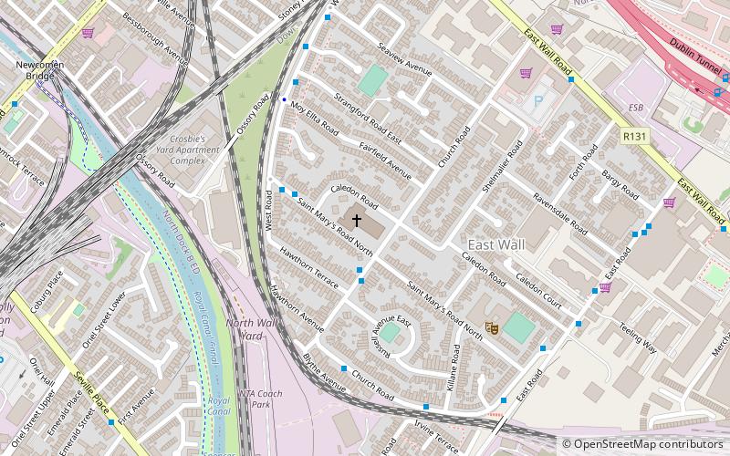
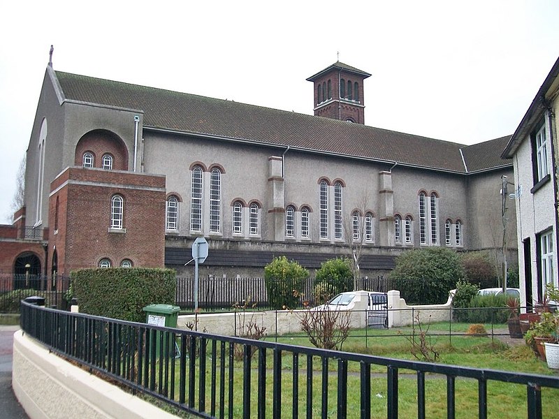
St. Joseph's Church is a Catholic church situated on Church Road in the East Wall area of Dublin, Ireland. ()
Completed: 29 July 1956 (69 years ago)Coordinates: 53°21'15"N, 6°14'12"W
Day trips
St. Joseph's Church – popular in the area (distance from the attraction)
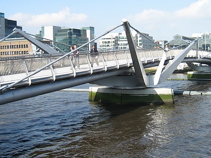
Nearby attractions include: Talbot Street, EPIC The Irish Emigration Museum, 3Arena, Samuel Beckett Bridge.
Frequently Asked Questions (FAQ)
Which popular attractions are close to St. Joseph's Church?
Nearby attractions include Spencer Dock, Dublin (8 min walk), East Wall Road, Dublin (8 min walk), Statue of Luke Kelly, Dublin (9 min walk), Royal Canal, Dublin (9 min walk).
How to get to St. Joseph's Church by public transport?
The nearest stations to St. Joseph's Church:
Bus
Train
Tram
Bus
- Church Road, Russell Avenue • Lines: 53 (2 min walk)
- St Mary's Road, St Joseph's Church • Lines: 53 (3 min walk)
Train
- Docklands (7 min walk)
- Dublin Connolly (12 min walk)
Tram
- Spencer Dock • Lines: Luas Red Line (10 min walk)
- Mayor Square - NCI • Lines: Luas Red Line (12 min walk)


