Aldborough House, Dublin

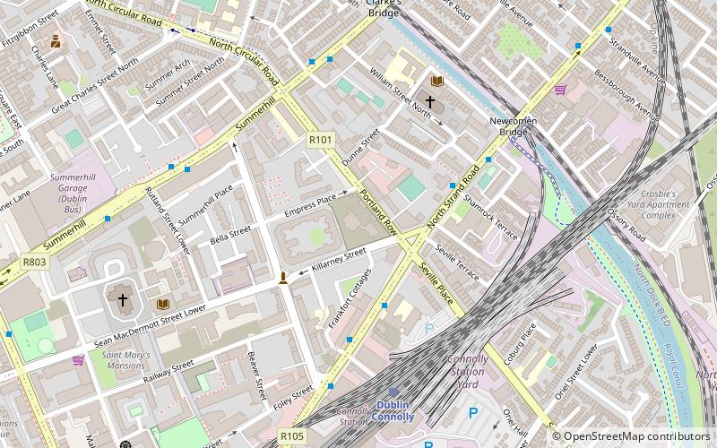
Map
Facts and practical information
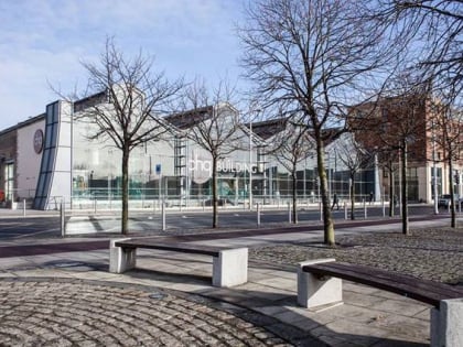
Aldborough House is a landmark Georgian building in Dublin, Ireland. Built as a private residence by 1795, the original structure included a chapel and a theatre wing. The house was used for periods as a school, barracks and post office depot, before becoming vacant in the early 21st century. While vacant, the building was subject to vandalism and a fire, was listed by An Taisce - The National Trust for Ireland as in poor condition, and included in its 2021 list of 'Top 10 Most-at-Risk' buildings nationally. ()
Coordinates: 53°21'18"N, 6°14'53"W
Address
Northside (North Inner City)Dublin
ContactAdd
Social media
Add
Day trips
Aldborough House – popular in the area (distance from the attraction)
Nearby attractions include: Croke Park, Talbot Street, EPIC The Irish Emigration Museum, Talbot Mall.
Frequently Asked Questions (FAQ)
Which popular attractions are close to Aldborough House?
Nearby attractions include Amiens Street, Dublin (7 min walk), Talbot Street, Dublin (9 min walk), North Strand Church, Dublin (9 min walk), Langrishe Place, Dublin (9 min walk).
How to get to Aldborough House by public transport?
The nearest stations to Aldborough House:
Bus
Train
Tram
Bus
- Amiens Street, Sheriff Street • Lines: 130, 14, 15, 42, 53, H1, H2, H3 (3 min walk)
- North Strand Road, Newcomen Bridge • Lines: 130, 14, 15, 42, 53, H1, H2, H3 (4 min walk)
Train
- Dublin Connolly (5 min walk)
- Docklands (12 min walk)
Tram
- Connolly • Lines: Luas Red Line (8 min walk)
- Busáras • Lines: Luas Red Line (10 min walk)


