Garraun
Map

Map

Facts and practical information
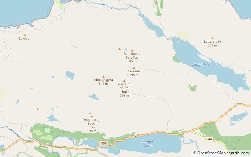
Garraun at 598 metres, is the 224th–highest peak in Ireland on the Arderin scale, however, while it is just short of the elevation threshold of 600-metres for other classifications, it does have the prominence to be a Marilyn. Garraun lies on an isolated massif near the mouth of Killary Harbour at the far north sector of the Twelve Bens/Garraun Complex Special Area of Conservation in the Connemara National Park in Galway. The southern slopes are a scenic backdrop to Kylemore Abbey and Kylemore Lough. ()
Elevation: 1962 ftProminence: 1814 ftCoordinates: 53°34'53"N, 9°52'2"W
Location
Galway
ContactAdd
Social media
Add
Day trips
Garraun – popular in the area (distance from the attraction)
Nearby attractions include: Kylemore Abbey, Diamond Hill, Mweelrea, Kylemore Lough.


