Mweelrea
Map

Map

Facts and practical information
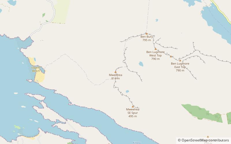
Mweelrea at 814 metres, is the 26th-highest peak in Ireland on the Arderin scale, and the 34th-highest peak on the Vandeleur-Lynam scale. Mweelrea is situated near the apex of a "horseshoe-shaped" massif that includes the peaks of Ben Lugmore and Ben Bury, and which is located between Killary Harbour and Doo Lough, in Mayo, Ireland. Mweelrea is the provincial top for Connacht, and is noted for its southeastern cliff lined corries, and its views. The massif is called the Mweelrea Mountains or the Mweelrea Range. ()
Location
Mayo
ContactAdd
Social media
Add
Day trips
Mweelrea – popular in the area (distance from the attraction)
Nearby attractions include: Kylemore Abbey, Leenaun Hill, Kylemore Lough, Doo Lough.


