Randoon, Fore
Map
Map

Facts and practical information
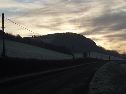
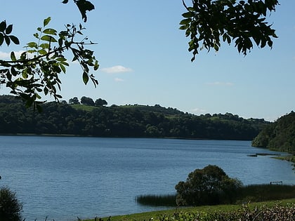
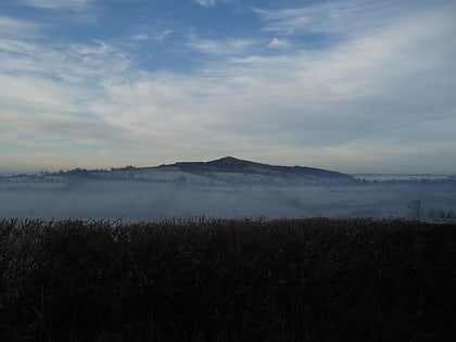
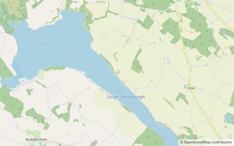
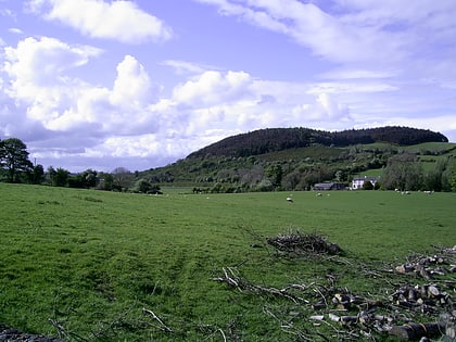
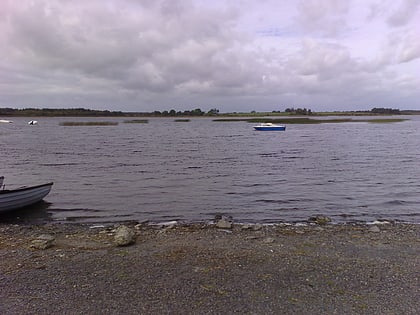
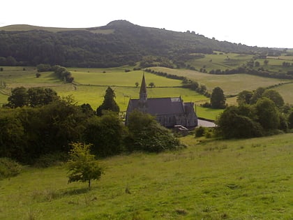
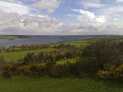
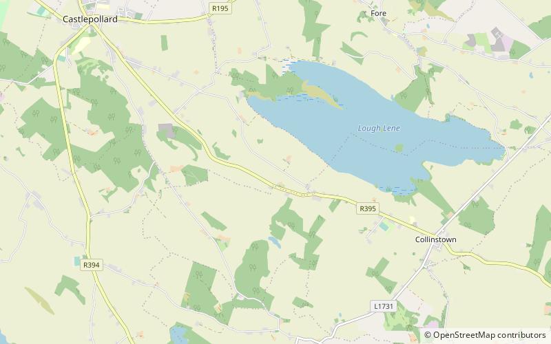
Randoon is a Turgesius Viking fortress located southwest of Lough Lene in Ireland. The fortress is situated upon a hill in Ranaghan, dominating by its height all other ringforts in the area, and overlooking Lough Lene between the towns of Castlepollard and Collinstown. The locally used term fort refers to any of the multitude of ringforts, many of which have been overgrown by vegetation. These remain today as historical relics Early Medieval Period of Ireland and Western Europe; they protected by Irish national heritage law. ()
Elevation: 410 ftCoordinates: 53°39'25"N, 7°15'7"W
Address
Fore
ContactAdd
Social media
Add
Day trips
Randoon – popular in the area (distance from the attraction)
Nearby attractions include: Fore Abbey, Lough Lene, Tullynally Castle, Lough Bane.
