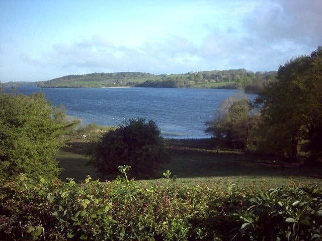
Lough Bane, Fore

Gallery (3)
Map
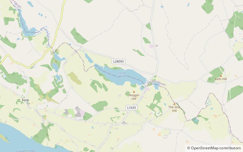
Map
Gallery
Facts and practical information
Lough Bane is a lake on the border of County Meath and County Westmeath in Ireland. The county border runs east–west through the centre of the lake. ()
Maximum depth: 52 ftElevation: 367 ft a.s.l.Coordinates: 53°41'19"N, 7°10'19"W
Address
Fore
ContactAdd
Social media
Add
Day trips