Rockabill Lighthouse, Skerries

Gallery (1)
Map
Map
Facts and practical information
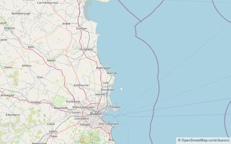
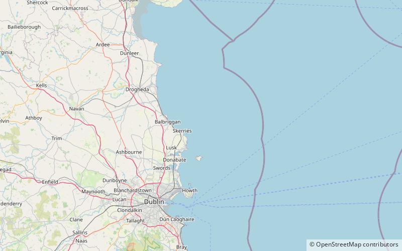
Rockabill Lighthouse is an active 19th century lighthouse, on the larger of the two islands that form Rockabill. The islands lie some 5 kilometres off the east coast of Ireland, north-east of Skerries, in County Dublin. It is operated and maintained by the Commissioners of Irish Lights. ()
Coordinates: 53°35'48"N, 6°0'16"W
Address
Skerries
ContactAdd
Social media
Add
Day trips